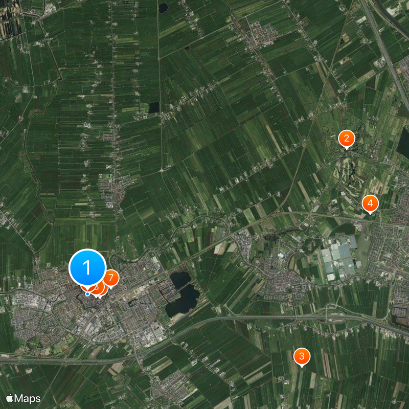
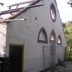
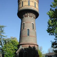
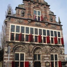
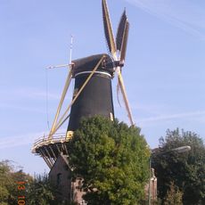
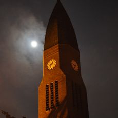
Woerden, Municipality and administrative center in Utrecht, Netherlands
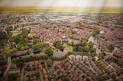
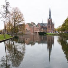
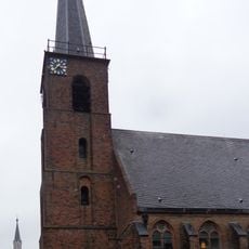
Woerden is a municipality in Utrecht province, stretching across land between the major Dutch cities of Amsterdam, Rotterdam, The Hague, and Utrecht. The area combines urban zones with rural landscapes and is defined by the Oude Rijn river.
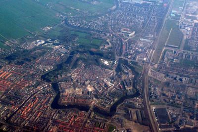
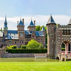
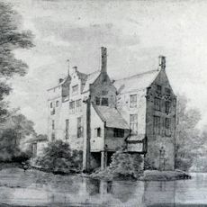
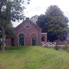
The Romans established the fort Castellum Laurum around 40 AD near the Oude Rijn and laid the foundation for later settlement. This marked the start of a long history that shaped the region for centuries.
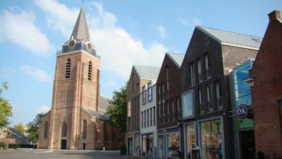
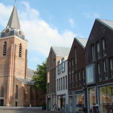
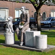
The central market square maintains a cheese trading tradition rooted in the 1800s, reflecting the long-standing connection between the town and dairy production. Visitors can still sense how important this trade is to local identity.
The railway station offers regular connections to major Dutch cities, with travel times between 30 and 45 minutes to nearby metropolitan areas. The town center is walkable and most spots are easy to reach.
The area transferred from South Holland province to Utrecht province in 1989, marking a significant change in administrative boundaries. This shift illustrates the complexity of Dutch regional politics.
Location: Utrecht
Capital city: Woerden
Elevation above the sea: 0 m
Shares border with: Montfoort, Utrecht, Bodegraven-Reeuwijk, Nieuwkoop, Stichtse Vecht, De Ronde Venen
Phone: +310348
Email: gemeentehuis@woerden.nl
Website: http://woerden.nl
GPS coordinates: 52.08583,4.88333
Latest update: December 14, 2025 20:52
Castle de Haar
8.1 km
New Dutch Waterline
6.1 km
Hamtoren
8 km
Kasteel Woerden
336 mLaurium
49 m
Reypenaer
647 m
Sint-Bonaventurakerk
239 m
Sint-Petruskerk
13 m
Huis Harmelen
5.9 kmWoerdense Koeienmarkt
118 m
Arsenaal
47 m
Landgoed Bredius
798 m
Watertoren
329 m
Stedehuys
86 m
De Windhond
171 m
Opstandingskerk
211 m
Kasteel Batestein
5.1 km
Fort Kruipin
1.4 km
Wulvenhorst
1.8 km
Een familiefoto, Woerden
222 m
Gemaal Kamerik Teijlingens
1.8 km
Nederlands Hervormde Kerk Kockengen
8.2 km
Brink 2, Haarzuilens
8.7 km
Sint-Bavokerk
5.4 kmKasteel Putkop
4.3 km
Wijkpark Molenvliet
1.9 km
Batensteinbad
879 m
Saint Hippolytus Church (Kanis)
4.4 kmVisited this place? Tap the stars to rate it and share your experience / photos with the community! Try now! You can cancel it anytime.
Discover hidden gems everywhere you go!
From secret cafés to breathtaking viewpoints, skip the crowded tourist spots and find places that match your style. Our app makes it easy with voice search, smart filtering, route optimization, and insider tips from travelers worldwide. Download now for the complete mobile experience.
A unique approach to discovering new places❞
— Le Figaro
All the places worth exploring❞
— France Info
A tailor-made excursion in just a few clicks❞
— 20 Minutes