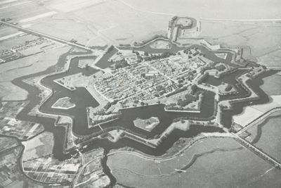
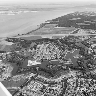
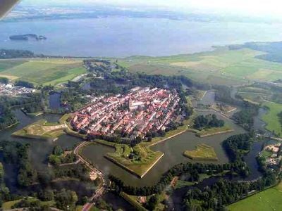
New Dutch Waterline, Military defensive line in North Holland, Netherlands
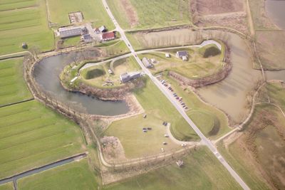
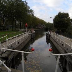
The New Dutch Waterline is a military defensive system spanning roughly 85 kilometers across multiple provinces and linking forts, fortified towns, and zones designed for controlled flooding. The network consists of about 96 forts connected by waterways and flood plains.
Construction began in 1815 under King William I to modernize earlier defensive systems through an innovative network created after the Napoleonic Wars. The redesigned system reflected new military strategies needed to protect borders during a shifting political period.
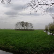
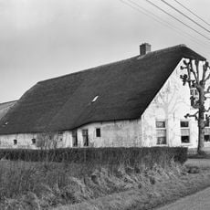
The waterline reflects Dutch skill in managing water by combining military needs with farming through a network of canals and sluices that shaped the landscape. Visitors can observe how the land was deliberately designed to serve both purposes at once.
Visitors can explore the line through marked walking and cycling paths connecting various fortifications across the provinces. Most sections are accessible year-round, though it helps to check ahead about which specific forts or sites are open to the public.
The system created flood zones between 40 and 60 centimeters (16 to 24 inches) deep, enough to stop enemy movement but too shallow for boats to cross. This simple water engineering was remarkably effective at the time.
The community of curious travelers
AroundUs brings together thousands of curated places, local tips, and hidden gems, enriched daily by 60,000 contributors worldwide.