Gelderland, Province in eastern Netherlands
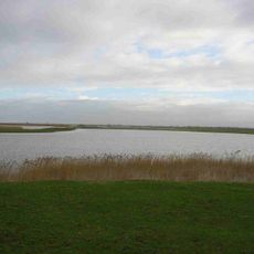
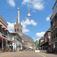
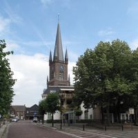
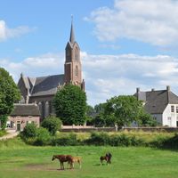
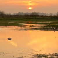
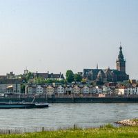
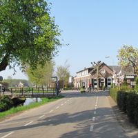
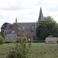
Gelderland is a province in the eastern part of the Netherlands, extending from the German border to the large river landscapes of the Meuse and Rhine. The region includes dense forests, wide heathlands, and fertile agricultural areas that shape the landscape.
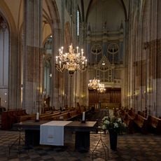
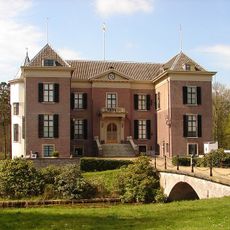
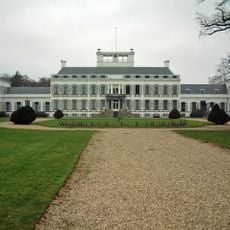
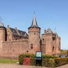
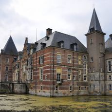
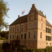
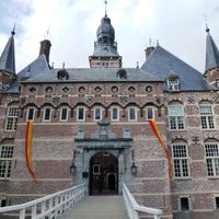
The County of Gelre emerged in the 11th century and was elevated to a duchy in 1339, securing its importance in the region. Later it became part of the Habsburg Netherlands before transitioning into the present Dutch province.
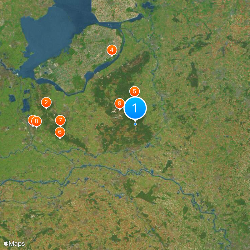
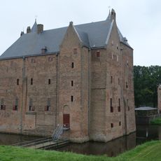
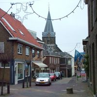
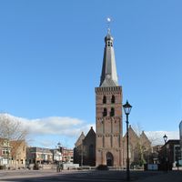
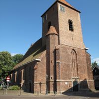
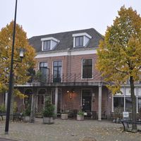
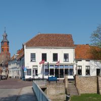
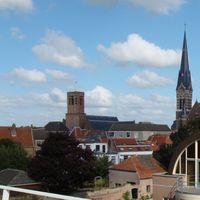
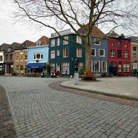
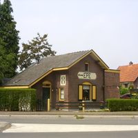
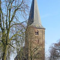
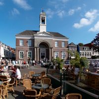
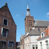
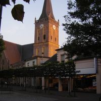
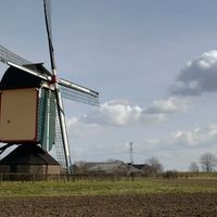
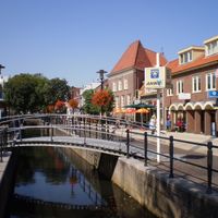
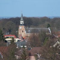
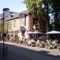
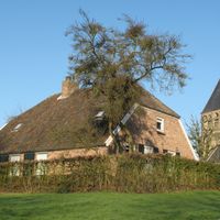
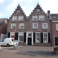
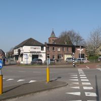
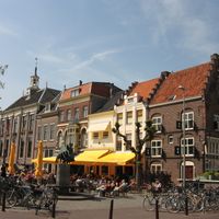
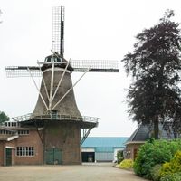
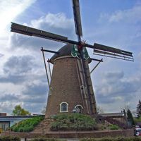
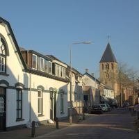
The name derives from medieval Geldern, while today the landscape is marked by heathlands and wide forest areas that invite visitors to walk and cycle. In smaller towns, markets often feature regional products, and traditional farmhouses still display the typical architecture of the area.
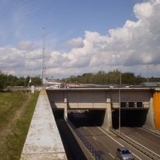
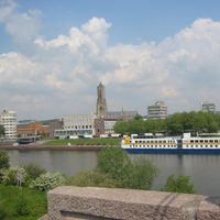
The region is easy to explore by train or car, as Arnhem as the capital is directly connected to the wider transport network. Many natural areas offer marked walking paths and cycling routes that are particularly pleasant in spring and autumn.
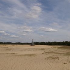
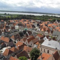
The Veluwe contains some of the oldest sand drifts in northern Europe, formed during the last ice age and now creating gentle hills. In some places the ground reaches up to 110 meters (360 feet) above sea level, which is remarkably high for the flat Netherlands.
The community of curious travelers
AroundUs brings together thousands of curated places, local tips, and hidden gems, enriched daily by 60,000 contributors worldwide.