Enable Location

We need your location to show you interesting places around you

Discover nearby places

Find interesting locations and hidden gems around you

Precise directions

Get accurate directions and distances to places

Your location is never shared with other users. It's only used when you tap the location button.

Buren

Log in to your account

Start exploring — it's free

Trusted by 63,212 travelers worldwide

Continue with Google
Continue with Apple
or

We will send you a code to connect

By continuing, you accept our Terms and Conditions and our Privacy Policy

Check your inbox

We've sent a pincode in your inbox. Please enter the code below.

Discussion Reviews 1 Photos
13.5k Popularity

Buren, Municipality in Gelderland, Netherlands

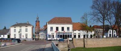
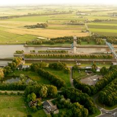
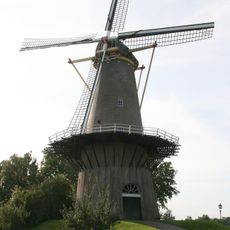
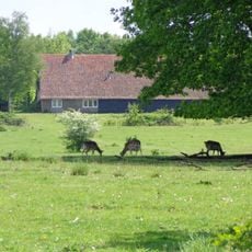
Buren is a municipality in the Betuwe region of Gelderland that spans across a large area of interconnected villages and farmland at a very low elevation. The territory features rural settlements and open agricultural fields as its primary landscape characteristics.

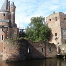
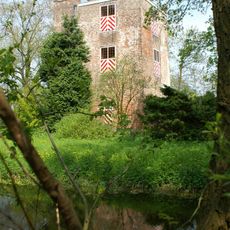
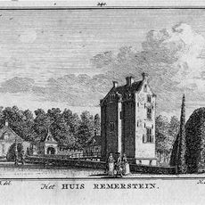
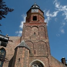
The territory was originally founded as a lordship in 994 and later became a county in 1498 through a decree from Emperor Maximilian of Austria. This elevation to county status represented its growing political importance during the late Middle Ages.

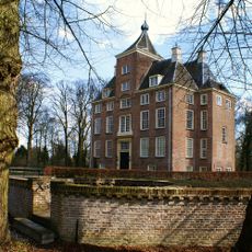
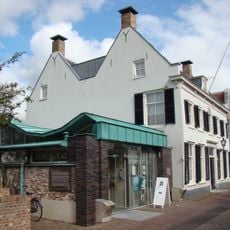
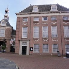
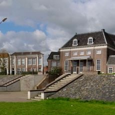
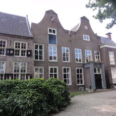
The Museum of the Royal Military Police is housed in a historic orphanage building founded in 1612 by Mary, the daughter of William of Orange. This structure reflects the region's historical ties to the Orange dynasty.

Administrative services are provided through a shared arrangement with seven neighboring municipalities in western Gelderland. The area offers rural infrastructure spread across several villages that can be explored at your own pace.

Martin Van Buren, the eighth president of the United States, visited in 1853 to meet distant relatives and trace his family roots. His journey represented a personal connection between American politics and this rural Dutch municipality.

The community of curious travelers

AroundUs brings together thousands of curated places, local tips, and hidden gems, enriched daily by 60,000 contributors worldwide.

Start exploring
Location
Capital city
Buren
Elevation above the sea
5 m
Shares border with
Culemborg, Wijk bij Duurstede, Utrechtse Heuvelrug, Rhenen, Neder-Betuwe, Tiel, Geldermalsen
Phone
GPS coordinates
51.91060,5.33330
Latest update
December 7, 2025 20:26
Reviews
Share your experience

No review yet

Discussions
Start a discussion...

No discussion yet

« Buren - Municipality in Gelderland, Netherlands » is provided by Around Us (aroundus.com). Images and texts are derived from Wikimedia project under a Creative Commons license. You are allowed to copy, distribute, and modify copies of this page, under the conditions set by the license, as long as this note is clearly visible.

Discover hidden gems everywhere you go!

From secret cafés to breathtaking viewpoints, skip the crowded tourist spots and find places that match your style. Our app makes it easy with voice search, smart filtering, route optimization, and insider tips from travelers worldwide. Download now for the complete mobile experience.

Around Us App Screenshot

A unique approach to discovering new places

Le Figaro

All the places worth exploring

France Info

A tailor-made excursion in just a few clicks

20 Minutes

Around Us
Travel Guide & Maps
Download

Send to your phone

QR Code
1

Open the camera app on your mobile.

2

Point at the QR code with your camera. A notification will appear.

3

Tap the notification to open the link.