
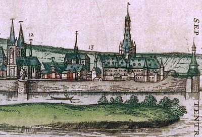
Schonenvaardersbolwerk, 16th-century fortified tower or roundel, part of the second Medieval city wall of Maastricht, the Netherlands
Location: Maastricht
Inception: 1528
Part of: fortifications of Maastricht
GPS coordinates: 50.85757,5.69571
Latest update: March 2, 2025 20:05
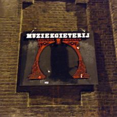
Muziekgieterij
345 m
Filmhuis Lumière
338 m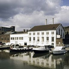
Timmerfabriek
344 m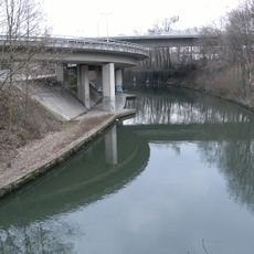
Noorderbrug
262 m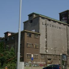
Landbouwbelang
270 m
Griendpark
391 m
Nieuwen Biesen
72 m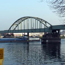
Spoorbrug (Maastricht)
171 m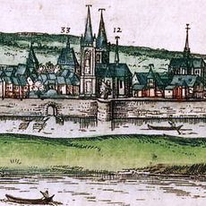
Antonietenklooster
294 m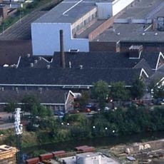
Gemeentelijk Slachthuis
247 m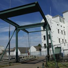
Sluis 20
329 m
Franciscus Romanusweg 8, Maastricht
341 m
Blekerij SAPPI
145 m
Monument op het Schildersplein
356 m
Schildersplein 24, Maastricht
370 m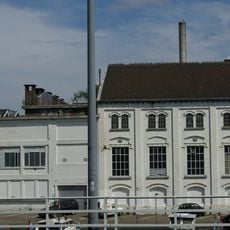
Power plant Sphinx
323 m
Antonius Bieleveltstraat 34, Maastricht
313 m
Franciscus Romanusweg 4, Maastricht
286 m
Antonius Bieleveltstraat 15, Maastricht
341 m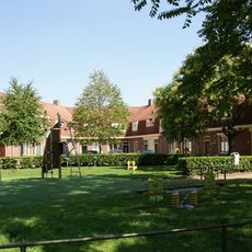
Antonius Bieleveltstraat 2, Maastricht
397 m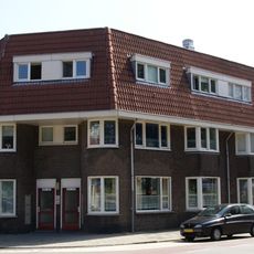
Franciscus Romanusweg 24a, Maastricht
393 m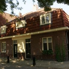
Karel de Vogelstraat 14, Maastricht
389 m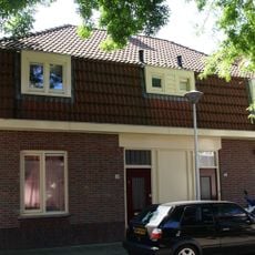
Karel de Vogelstraat 19, Maastricht
398 m
Schildersplein 10, Maastricht
383 m
Schildersplein 8, Maastricht
369 m
Schildersplein 2, Maastricht
359 m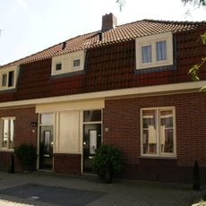
Antonius Bieleveltstraat 23, Maastricht
326 m
Van Hasseltkade 2, Maastricht
394 mVisited this place? Tap the stars to rate it and share your experience / photos with the community! Try now! You can cancel it anytime.
Discover hidden gems everywhere you go!
From secret cafés to breathtaking viewpoints, skip the crowded tourist spots and find places that match your style. Our app makes it easy with voice search, smart filtering, route optimization, and insider tips from travelers worldwide. Download now for the complete mobile experience.

A unique approach to discovering new places❞
— Le Figaro
All the places worth exploring❞
— France Info
A tailor-made excursion in just a few clicks❞
— 20 Minutes