
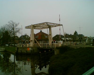
Rozenbrug, bridge in Woerden, Netherlands
Location: Woerden
Inception: 1937
GPS coordinates: 52.08763,4.88059
Latest update: March 9, 2025 19:35
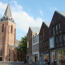
Sint-Petruskerk
273 m
Woerdense Koeienmarkt
346 m
Arsenaal
228 m
Watertoren
297 m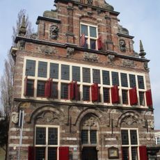
Stedehuys
319 m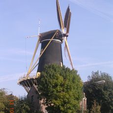
De Windhond
411 m
Lutherse Kerk, Woerden
289 m
Algemene Begraafplaats Hoge Wal
433 m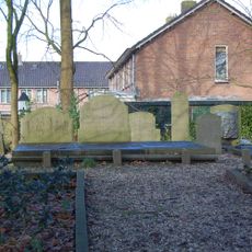
Familie begraafplaats Groeneveld
343 m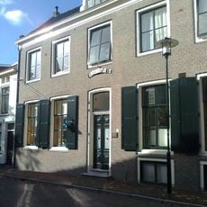
Voormalige Gereformeerd Weeshuis
377 m
Algemene Begraafplaats Hogewal
455 m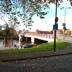
Burgemeester Vosbrug
431 m
Kerkstraat 5, Woerden
339 m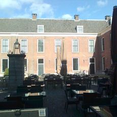
Kazerne, Woerden
304 m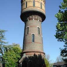
Watertoren Woerden
297 m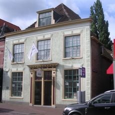
Rijnstraat 32, Woerden
311 m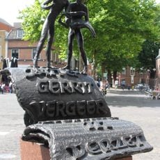
Drukkers in verzet
282 m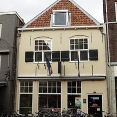
Rijnstraat 11, Woerden
241 m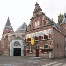
Stichting Stadsmuseum Woerden
319 m
Rijnstraat 18, Woerden
248 m
Watertoren Woerden
278 m
Petruskerk (toren)
276 m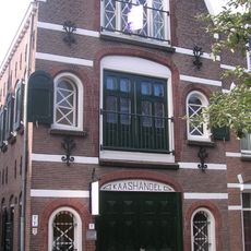
Eendrachtstraat 1, Woerden
156 m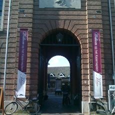
Rondboogpoortje
319 m
Rijnstraat 44, Woerden
389 m
Groenendaal 24, Woerden
225 m
Rijnstraat 24, Woerden
270 m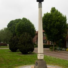
Oorlogsmonument
309 mReviews
Visited this place? Tap the stars to rate it and share your experience / photos with the community! Try now! You can cancel it anytime.
Discover hidden gems everywhere you go!
From secret cafés to breathtaking viewpoints, skip the crowded tourist spots and find places that match your style. Our app makes it easy with voice search, smart filtering, route optimization, and insider tips from travelers worldwide. Download now for the complete mobile experience.

A unique approach to discovering new places❞
— Le Figaro
All the places worth exploring❞
— France Info
A tailor-made excursion in just a few clicks❞
— 20 Minutes