
Kapel Huize St. Antonius, former chapel in Rotterdam, the Netherlands
Location: Rotterdam
Inception: 1971
Creator: Ted Felen
Address: Groene Tuin 1, 3078KA Rotterdam
GPS coordinates: 51.89143,4.54623
Latest update: March 13, 2025 12:36


De Kuip
1.6 km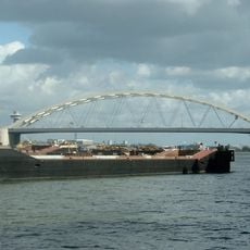
Van Brienenoordbrug
1.4 km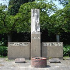
Monument 1940-1945
1 km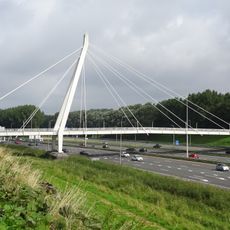
Cornelis van Beverenbrug
1.1 km
2e Eiland van Brienenoordbrug
1.1 km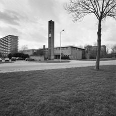
Heilige-Kruisverheffingskerk
478 m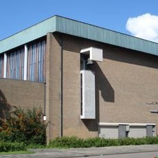
Pelgrimskerk
973 m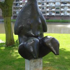
Vrouwentorso
798 m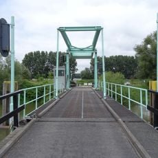
Zuiddiepjebrug
1.3 km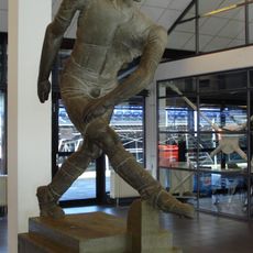
De voetballer
1.6 km
Coen Moulijn
1.7 km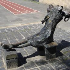
Meisje met poes
804 m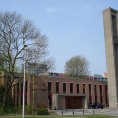
Groene Tuinkerk
749 m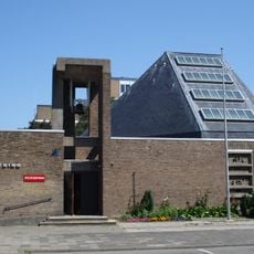
Emmaus Church
1.1 km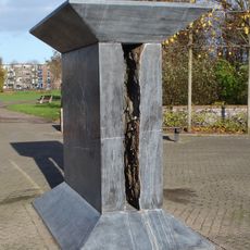
Waterdiabolo
1.5 km
De Arend en de Zeemeeuwbrug
1.3 km
Adriaen Janszkerk
1.1 km
Benedenrijweg 455 (Rotterdam)
1.3 km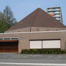
Thaborkerk
939 m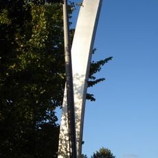
Boogvorm met regenboog
1.4 km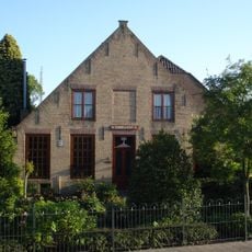
Benedenrijweg 435, Rotterdam
1.4 km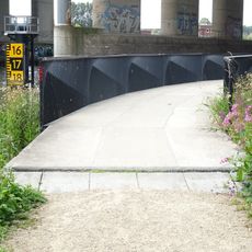
1e Eiland van Brienenoordbrug
1.1 km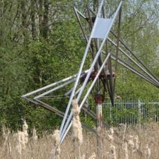
Bird
684 m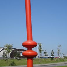
De dobber
1.2 km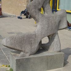
Liggende vrouwenfiguur
1 km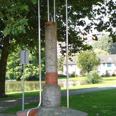
Baken
685 m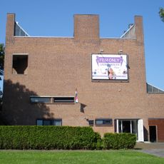
De Hoeksteen
776 m
Ben Schopbrug
973 mReviews
Visited this place? Tap the stars to rate it and share your experience / photos with the community! Try now! You can cancel it anytime.
Discover hidden gems everywhere you go!
From secret cafés to breathtaking viewpoints, skip the crowded tourist spots and find places that match your style. Our app makes it easy with voice search, smart filtering, route optimization, and insider tips from travelers worldwide. Download now for the complete mobile experience.

A unique approach to discovering new places❞
— Le Figaro
All the places worth exploring❞
— France Info
A tailor-made excursion in just a few clicks❞
— 20 Minutes