Karasjok Municipality, municipality in Finnmark, Norway
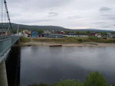
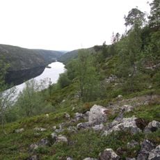
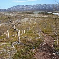
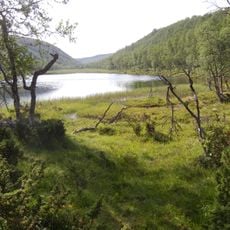
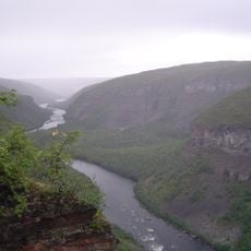
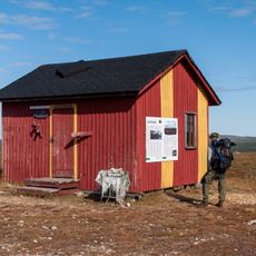
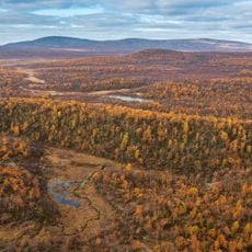
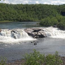
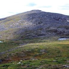
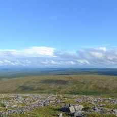
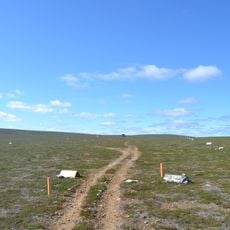
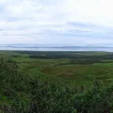
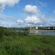
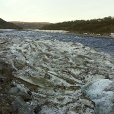
Karasjok Municipality is an administrative area in the far north of Norway, within the Finnmark region, featuring forests, open landscapes, and the town of Karasjok as its main center. The territory spans large areas with rivers and is home to around 2000 people whose lives blend traditional reindeer herding with modern activities.
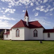
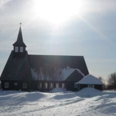
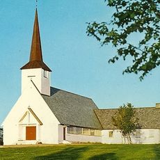
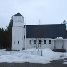
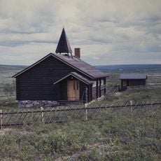
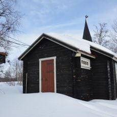
The region has a long history as the home of the Sami people, the indigenous population of these lands. The old Karasjok Church, built in 1807, stands as a symbol of the connection between local history and Norwegian settlement.
Karasjok carries Sami culture visibly in its daily life. Signs, schools, and public buildings use both Norwegian and Sami, making this indigenous tradition a constant presence in the town.
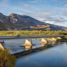
The area is easily reached via the E6 highway, a main route that runs through northern Norway and marks Karasjok as an important stop. The nearest airport is about 50 miles away, and in winter, warm clothing and preparation for snow are necessary.
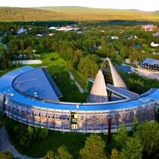
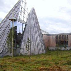
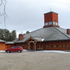
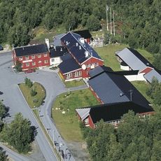
Karasjok is home to the Sami Parliament, an independent institution where decisions about Sami culture and language are made. This building is a rare center for indigenous self-governance in Europe and shows the significance this region holds for the Sami community.
The community of curious travelers
AroundUs brings together thousands of curated places, local tips, and hidden gems, enriched daily by 60,000 contributors worldwide.