Hordaland, Former administrative region in Western Norway
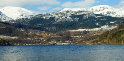
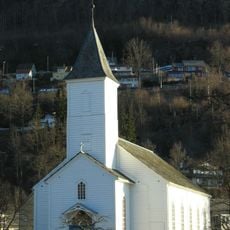
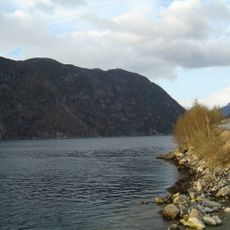
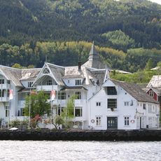
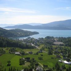
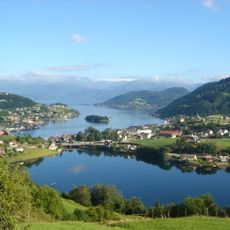
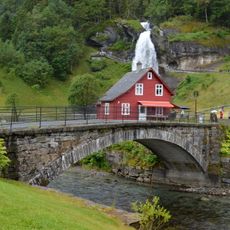
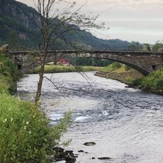
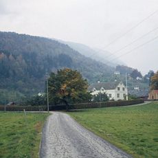
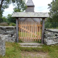
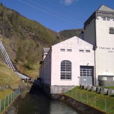
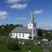
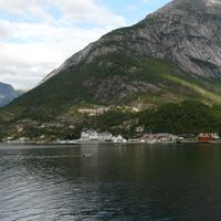
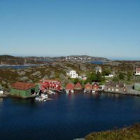
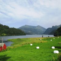
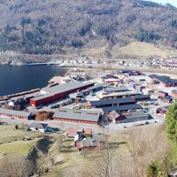
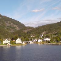
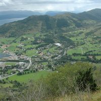
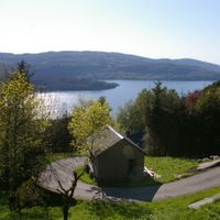
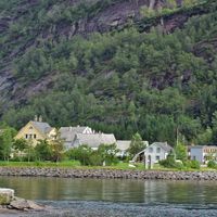
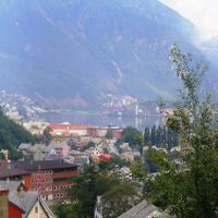
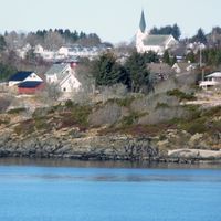
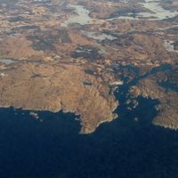
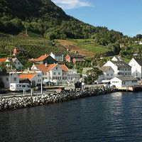
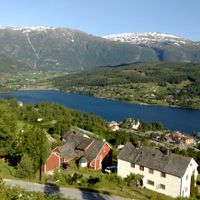
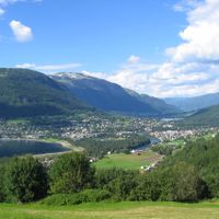
Hordaland was a former administrative region along Norway's western coast, stretching across deep fjords and encompassing Bergen alongside numerous municipalities in both coastal and inland areas. The landscape featured dramatic terrain with steep mountains dropping into the sea and fertile valleys inland.
The region was initially organized as Søndre Bergenhus amt before being renamed Hordaland in 1919, and it remained an administrative region until 2020. This renaming reflected shifting administrative structures during the 20th century.
The region's coat of arms displays two golden axes with a crown, originating from the seal of Saint Olav's guild dating back to 1344.
The region was renowned for fruit production and ranked among Norway's leading growing areas for apples, plums, and cherries. Visitors today can still find numerous orchards and traditional agricultural landscapes throughout its valleys.
Since 1949, the region sends a Christmas tree to Edinburgh each year to honor Scottish support during World War II. This gesture of gratitude continues today and appears in the city's holiday celebrations.
Location: Norway
Inception: 1919
Capital city: Bergen
Part of: Western Norway
Shares border with: Rogaland, Sogn og Fjordane, Buskerud, Telemark
Website: https://hordaland.no
GPS coordinates: 60.25000,6.00000
Latest update: December 14, 2025 17:37
Steinsdalsfossen
14.6 km
Tokagjelet
13.5 km
Fossen Bratte
15.9 km
Norheimsund Church
15.4 km
Ænes Church
18.8 km
Øystese Church
19 km
Kabuso
19 km
Haga Church
19.8 km
Furebergsfossen
19.2 km
Maurangsfjorden
18.3 km
Sandven Hotel
15.7 km
Hissfjorden
3.6 km
Eikelandsfjorden
18.8 km
Haugatun
1.9 km
Øystese stavkirke
19 km
Ytre Samlafjorden
17.4 km
Varaldsøy Stave Church
16.9 km
Furebergfossen bru
19.1 km
Steinsdals Bridge
14.6 km
Folgefonn l
15.3 km
Steinsdal bru
14.6 km
Vikøy manse
14.6 km
Strandebarm manse
2.2 km
Holdhus - Bautastein
9.3 km
Handegard - Kleberbrot
20.9 km
Handegard - Fetts fk. 1, Vassete
20.8 km
Frøland kraftverk
18.4 km
Sørtveit steinbrudd
18.3 kmVisited this place? Tap the stars to rate it and share your experience / photos with the community! Try now! You can cancel it anytime.
Askøy Municipality
Austevoll Municipality
Austrheim Municipality
Bergen Municipality
Bømlo
Eidfjord Municipality
Etne
Fedje
Fitjar
Fjell Municipality
Fusa Municipality
Granvin Municipality
Jondal
Kvam Municipality
Kvinnherad Municipality
Lindås Municipality
Masfjorden
Meland Municipality
Modalen
Odda Municipality
Os
Osterøy
Radøy Municipality
Samnanger
Stord
Sund
Sveio
Tysnes
Ullensvang
Ulvik
Vaksdal
Voss
Øygarden Municipality
Discover hidden gems everywhere you go!
From secret cafés to breathtaking viewpoints, skip the crowded tourist spots and find places that match your style. Our app makes it easy with voice search, smart filtering, route optimization, and insider tips from travelers worldwide. Download now for the complete mobile experience.
A unique approach to discovering new places❞
— Le Figaro
All the places worth exploring❞
— France Info
A tailor-made excursion in just a few clicks❞
— 20 Minutes