Odda Municipality, Industrial town at Sørfjorden, Norway
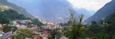
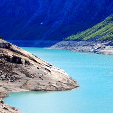
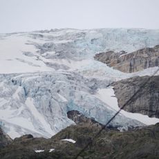
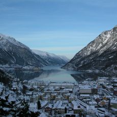
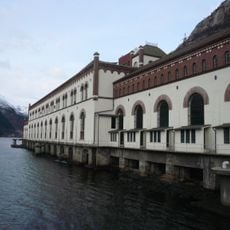
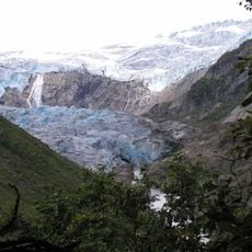
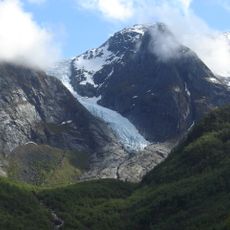
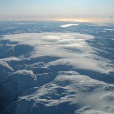
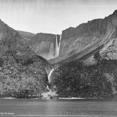
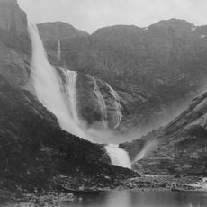
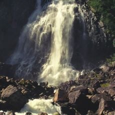
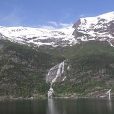
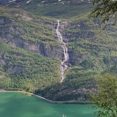
Odda sits between steep mountains and a lake, with glaciers in the western ranges forming a dramatic backdrop. The town spreads along a fjord with buildings climbing the slopes, making the proximity to water and mountains immediately clear.
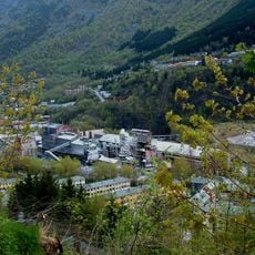
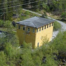
The settlement grew in the early 1900s as a smelting center and was formally organized as a municipality. It merged with a neighboring area in 2019, ending more than a century of local independence.
Workers from across the country brought different speech patterns that shaped a local dialect still heard in daily conversation. This mix of people created a social character that remains visible in how the community interacts and celebrates its industrial heritage.
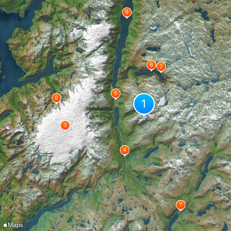
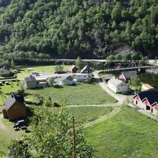
Main roads connect the town to surrounding regions, and a tunnel links to neighboring valleys. The center is small enough to explore on foot, while the surrounding nature offers easy access for walks and hikes.
A chemical process developed here in 1927 transformed fertilizer production worldwide and became known by the town's name. This breakthrough shows how small industrial towns could pioneer innovations that reached across the globe.
Location: Hordaland
Inception: July 1, 1913
Capital city: Odda
Shares border with: Ullensvang, Vinje, Suldal Municipality, Sauda Municipality, Etne Municipality, Kvinnherad Municipality
GPS coordinates: 60.02583,6.66722
Latest update: December 20, 2025 14:23
Trolltunga
11.7 km
Folgefonna
18.8 km
Låtefossen
9.8 km
Odda Smelteverk
8.1 km
Ringedalsvatnet
11.5 km
Røldal stave church
23.4 km
Folgefonna National Park
20.9 km
Sørfjorden
24.1 km
Tyssedal Hydroelectric Power Station
12.3 km
Norwegian Museum of Hydropower and Industry
12.3 km
Buarbreen
13.7 km
Bondhusbreen
20.2 km
Søndre Folgefonna
18.8 km
Tyssestrengene
13.3 km
Fjæra
23.2 km
Ringedalsfossen
10.3 km
Nordre Folgefonna
22.8 km
Espelandsfossen
10.1 km
Fjæra Chapel
22.9 km
Skjeggedal pumping Station
11.6 km
Ædnafossen
14 km
Tjørnadalsfossen
5.4 km
Sandvin - Fetts fk. 1/2
6.5 km
Reinsnos - Fetts fk. 1, Foss
5.3 km
Berge - Fetts fk. 1, Åsthelleberget
9 km
Sunndal - Olavssteinen
24.3 km
Kvitno - Fetts fk. 2
17.8 km
Sandvin - Fetts fk. 4, Sandvinshaugen
6.1 kmVisited this place? Tap the stars to rate it and share your experience / photos with the community! Try now! You can cancel it anytime.
Discover hidden gems everywhere you go!
From secret cafés to breathtaking viewpoints, skip the crowded tourist spots and find places that match your style. Our app makes it easy with voice search, smart filtering, route optimization, and insider tips from travelers worldwide. Download now for the complete mobile experience.
A unique approach to discovering new places❞
— Le Figaro
All the places worth exploring❞
— France Info
A tailor-made excursion in just a few clicks❞
— 20 Minutes