Enable Location

We need your location to show you interesting places around you

Discover nearby places

Find interesting locations and hidden gems around you

Precise directions

Get accurate directions and distances to places

Your location is never shared with other users. It's only used when you tap the location button.

Fjæra

Log in to your account

Join the adventure

Create your free account and start exploring (like 60k+ others)

We will send you a code to connect

or
Continue with Google
Continue with Apple
By continuing, you accept our Terms and Conditions and our Privacy Policy

Check your inbox

We've sent a pincode in your inbox. Please enter the code below.

Fjæra

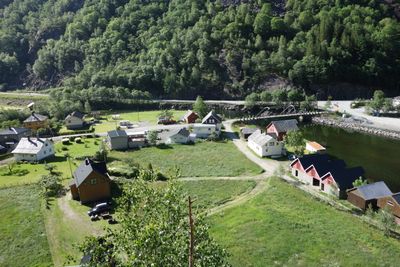
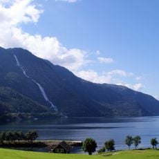
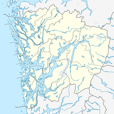
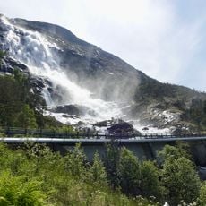
Fjæra, Rural settlement at Åkrafjorden, Norway

Description

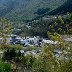
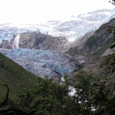
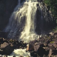
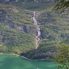
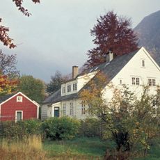
Fjæra is a small settlement tucked into the innermost part of Åkrafjorden, where the river of the same name flows into the fjord system. A handful of buildings sits along the waterfront, creating the simple landscape of a Norwegian coastal village nestled between water and mountains.

History

The name comes from the Norwegian word for fjord, reflecting the area's deep maritime roots and dependence on coastal living. Like other settlements in the region, it grew along the water to take advantage of fishing and water-based travel.

Culture

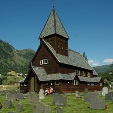
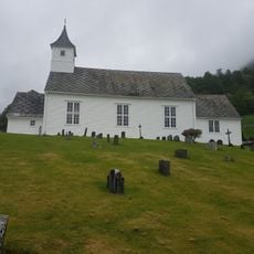
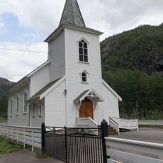
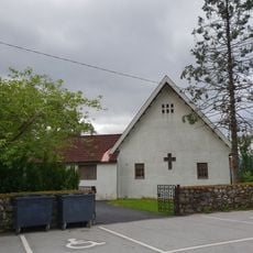
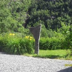
The village centers around its small chapel, which serves as both a place of worship and a gathering point for residents, featuring traditional Norwegian design. This building reflects how communities maintain their identity in remote coastal areas, connecting everyday life with spiritual practices.

Practical

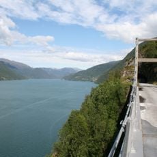
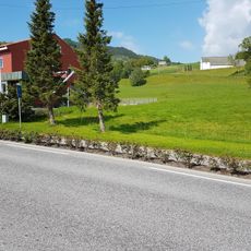
The European route E134 connects directly through the Fjæra Tunnel, making the settlement accessible by car to Ullensvang and beyond. Despite its remote location, road access is straightforward, though the wider area remains sparsely populated and services are limited.

Did you know?

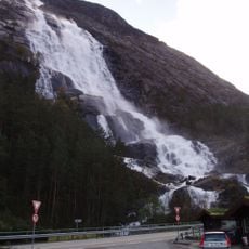
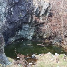
The settlement sits only about 1 meter (3 feet) above sea level, making it one of the lowest spots in the municipality. This extreme position puts it in direct contact with tidal shifts and the constant movement of the fjord waters.

Elevation above the sea
1 m
GPS coordinates
59.87417,6.38194
Latest update
December 14, 2025 18:10

AroundUs brings together thousands of curated places, local tips, and hidden gems, enriched daily by 60,000 contributors worldwide. Discover all places nearby (Etne Municipality).

« Fjæra - Rural settlement at Åkrafjorden, Norway » is provided by Around Us (aroundus.com). Images and texts are derived from Wikimedia project under a Creative Commons license. You are allowed to copy, distribute, and modify copies of this page, under the conditions set by the license, as long as this note is clearly visible.

Discover hidden gems everywhere you go!

From secret cafés to breathtaking viewpoints, skip the crowded tourist spots and find places that match your style. Our app makes it easy with voice search, smart filtering, route optimization, and insider tips from travelers worldwide. Download now for the complete mobile experience.

Around Us App Screenshot

A unique approach to discovering new places

Le Figaro

All the places worth exploring

France Info

A tailor-made excursion in just a few clicks

20 Minutes

Around Us
Travel Guide & Maps
Download

Send to your phone

QR Code
1

Open the camera app on your mobile.

2

Point at the QR code with your camera. A notification will appear.

3

Tap the notification to open the link.