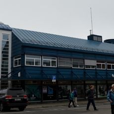
Nordkapp Municipality, Administrative municipality in Finnmark, Norway.
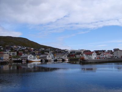
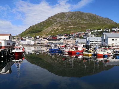
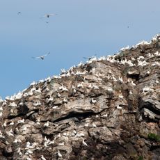
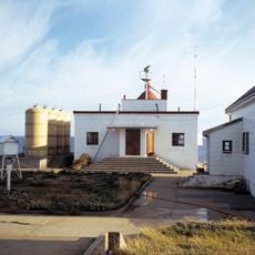
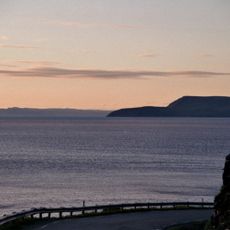
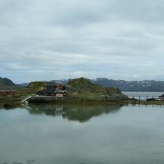
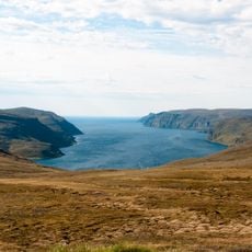
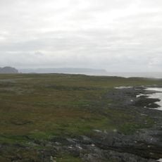
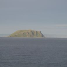
Nordkapp Municipality spreads across Magerøya Island and portions of mainland Norway, characterized by fjords cutting into the land and rugged mountain terrain. The subarctic climate and proximity to the Barents Sea define the environmental conditions throughout the region.
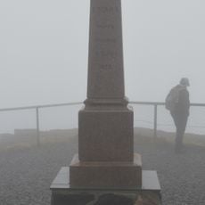
The settlement was established in 1861 before changing its name in 1950, marking a shift in regional identity and focus. Territorial expansion in 1984 added substantial lands to the north, reshaping its current boundaries.
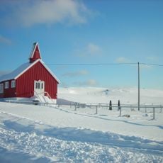
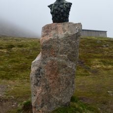
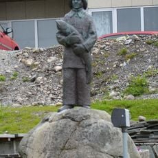
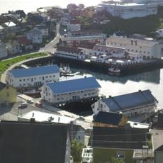
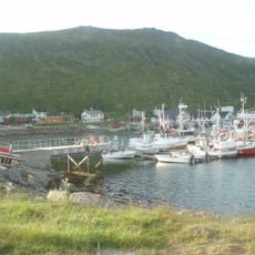
Fishing traditions remain central to how people here relate to their environment and organize their daily routines. The extreme seasonal light changes shape how residents and visitors experience the landscape and structure their activities throughout the year.
Access is provided by the European road route E69, which operates year-round through an undersea tunnel connecting the main settlements. The regional airport offers reliable daily connections to larger cities, making it a good backup option during winter weather.
The main route to the region passes through an undersea tunnel, one of the northernmost tunnel constructions in Europe. This engineering solution enables year-round road access and avoids dependence on ferries in harsh sea conditions.
The community of curious travelers
AroundUs brings together thousands of curated places, local tips, and hidden gems, enriched daily by 60,000 contributors worldwide.