Hamar Municipality, Municipality in Innlandet, Norway
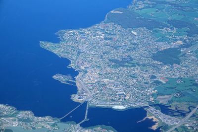
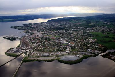
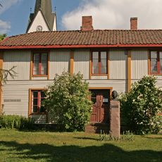
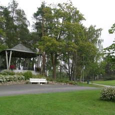
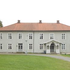
Hamar Municipality is a local government area on the eastern shore of Lake Mjøsa in Innlandet, comprising the town of Hamar alongside smaller settlements scattered throughout the region. The area sits at the intersection of rural and urban spaces, with waterways and green spaces defining its character.
This area gained its administrative status in 1848 when Hamar became a chartered town, then grew through the incorporation of territory from surrounding regions. These expansions shaped the current form of the municipality.
The municipality represents its identity through a coat of arms featuring a black grouse on a pine tree, granted in 1896 and renewed in 1993.
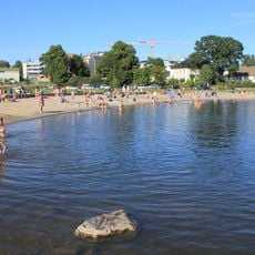
The best starting point for exploring the area is Hamar Station, which connects multiple railway lines, making it easy to arrive and navigate the region. The lakeside location provides easy access to outdoor activities and nearby towns.
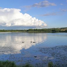
Three rivers flow through the territory - Flakstadelva, Lageråa, and Svartelva - shaping the landscape and connecting different parts of the region. These waterways create distinct environments that visitors often discover while exploring beyond the main town.
The community of curious travelers
AroundUs brings together thousands of curated places, local tips, and hidden gems, enriched daily by 60,000 contributors worldwide.