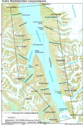
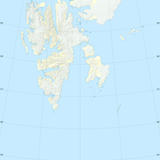
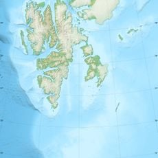
Indre Wijdefjorden National Park, National park in northern Spitsbergen, Norway
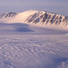
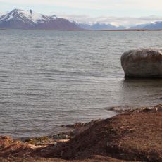
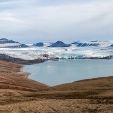
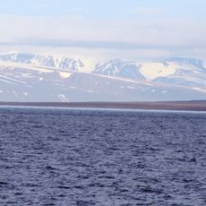
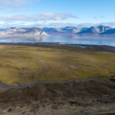
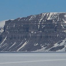
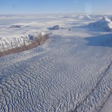
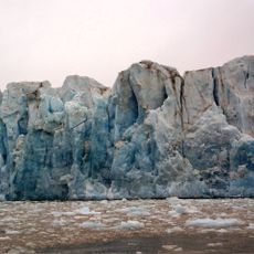
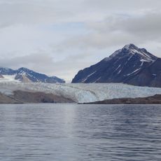
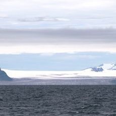
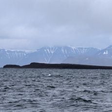
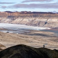
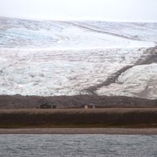
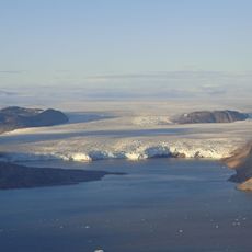
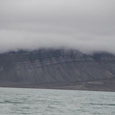
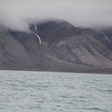
Indre Wijdefjorden is a national park in northern Spitsbergen that protects both land and sea areas along Svalbard's longest fjord. The terrain shifts from Arctic coastal edges to alpine ground and open tundra as you move inland.
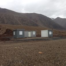
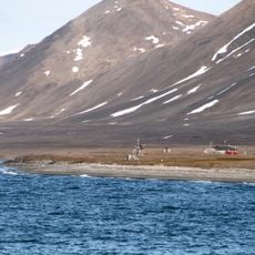
Norwegian and Russian trappers were among the first to use the area regularly, building hunting camps and cabins driven by the fur trade. The park was formally established to protect this remote Arctic territory and its wildlife for future generations.
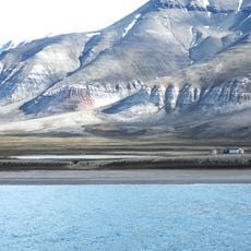
Several old trapper cabins still stand across the landscape, giving visitors a direct sense of how people once lived and hunted in this remote corner of the Arctic. Walking near these structures, you can see the tools and building methods that shaped daily survival in such a harsh setting.
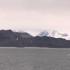
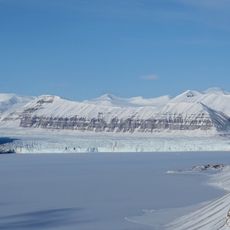
Getting to the park by boat from the north or by land through neighboring fjords requires careful planning based on the time of year. In winter, snowmobiles from Longyearbyen can reach the area, but only for those who are properly prepared for Arctic conditions.
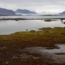
The park shelters a type of High Arctic steppe vegetation that exists in very few other places across Svalbard, with plant species found almost nowhere else on the archipelago. These rare plants have adapted to dry, cold conditions and stand out clearly from the tundra found in nearby areas.
The community of curious travelers
AroundUs brings together thousands of curated places, local tips, and hidden gems, enriched daily by 60,000 contributors worldwide.