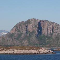
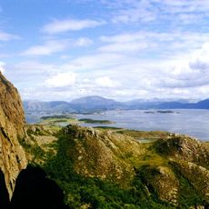
Bindalsfjorden, Fjord system in Bindal, Norway
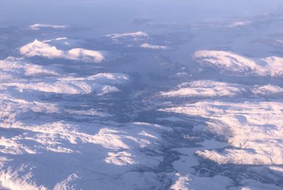
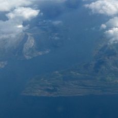
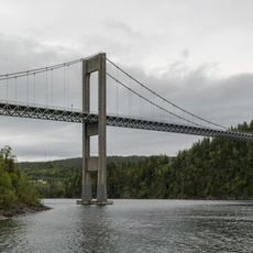
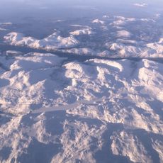
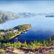
Bindalsfjorden is a fjord system extending roughly 70 kilometers through Nordland, with multiple branching arms and significant depth in its central channels. The fjord is characterized by steep shorelines, deep basins, and several islands that shape the water's course through the landscape.
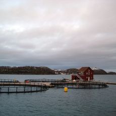
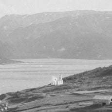
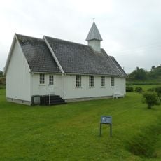
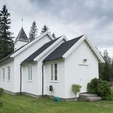
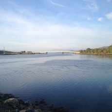
The fjord became a central transportation route after the ice age, supporting the early settlements and fishing communities that grew along these shores. For centuries, these protected waters provided safe passage and access to rich fishing grounds that sustained the region's development.
The communities here have depended on fishing and seafaring for generations, and you can still see these traditions reflected in how people use the water daily. Boats, harbors, and fishing gear are woven into the everyday rhythm of life along these shores.
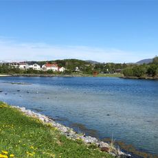
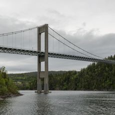
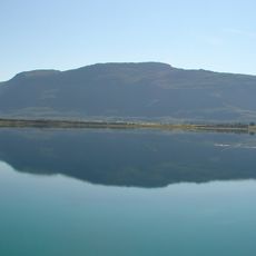
Exploring this fjord is best done by boat, which allows you to move freely between the different branches and smaller inlets along the way. Weather conditions here can change quickly, so checking local forecasts and tidal information before heading out is a good idea.
Sørfjorden, a major branch of the system, forms a near-complete loop separated from the open coast by a narrow ridge of land. This unusual shape was carved by glacial movement during the ice age and creates a distinctive geography within the larger fjord system.
The community of curious travelers
AroundUs brings together thousands of curated places, local tips, and hidden gems, enriched daily by 60,000 contributors worldwide.