
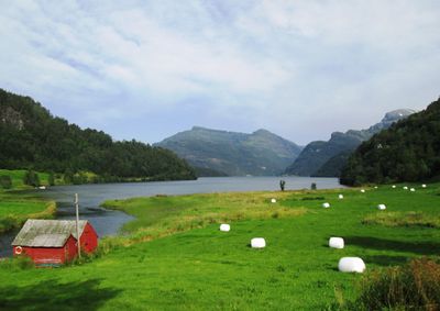
Fusa Municipality, former municipality in Hordaland, Norway
Location: Hordaland
Inception: 1856
Capital city: Eikelandsosen
Shares border with: Samnanger, Kvam Municipality, Kvinnherad Municipality, Tysnes, Os
Website: http://fusa.kommune.no
GPS coordinates: 60.24722,5.80722
Latest update: March 3, 2025 09:59
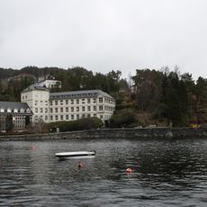
Kysthospitalet i Hagevik
24 km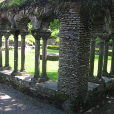
Lyse Abbey
22.3 km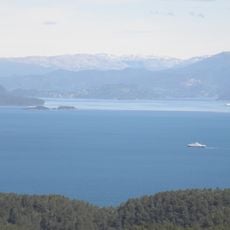
Bjørnafjorden
19.7 km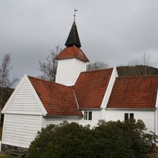
Lysekloster kapell
22.7 km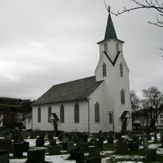
Os Church
19.8 km
Samnangerfjorden
12.3 km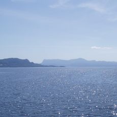
Fusafjorden
14.3 km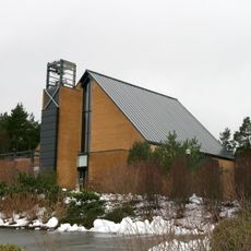
Nore Neset Church
23.4 km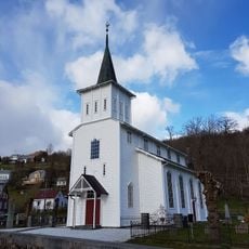
Strandvik Church
12.5 km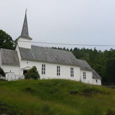
Sundvor Church
19.5 km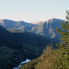
Hausdalshorga
18.8 km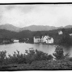
Godøysund
24.2 km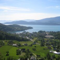
Hissfjorden
13.1 km
Eikelandsfjorden
8.1 km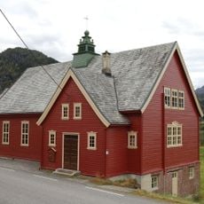
Haugatun
11.5 km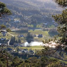
Bahus
20.2 km
Lygrespollen
19.5 km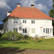
Os prestegård
19.8 km
Grunnasund bru
20 km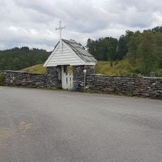
Varaldsøy Stave Church
19.1 km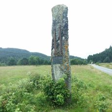
Ulven - Fetts fk. 2
21.9 km
Strandebarm manse
11.6 km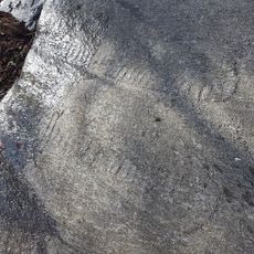
Vinnes - Fetts fk. 7, Varmeholo
15.3 km
Vinnes - Fetts fk. 8, Mattisbrekka
15.9 km
Fusa gamle prestegård
10.9 km
Holdhus - Bautastein
1.5 km
Sørtveit steinbrudd
12.2 km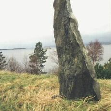
Tysnes - Fetts fk. 1/3
26.5 kmReviews
Visited this place? Tap the stars to rate it and share your experience / photos with the community! Try now! You can cancel it anytime.
Discover hidden gems everywhere you go!
From secret cafés to breathtaking viewpoints, skip the crowded tourist spots and find places that match your style. Our app makes it easy with voice search, smart filtering, route optimization, and insider tips from travelers worldwide. Download now for the complete mobile experience.

A unique approach to discovering new places❞
— Le Figaro
All the places worth exploring❞
— France Info
A tailor-made excursion in just a few clicks❞
— 20 Minutes