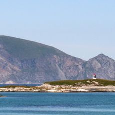
Sommarøy Bridge, Cantilever road bridge in Tromsø Municipality, Norway
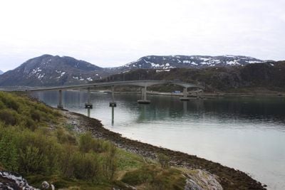
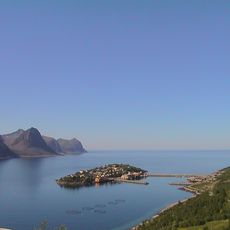
Sommarøy Bridge is a concrete road structure spanning 528 meters that connects the islands of Kvaløya and Sommarøy through a cantilever design. The main span extends 120 meters, carrying traffic between the islands with a functional, direct route.
Construction of the bridge in the 1990s marked a turning point for the region, replacing water transport as the primary way to reach the islands. This road connection transformed how the fishing community accessed supplies and markets.
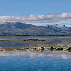
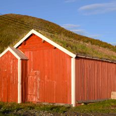
The bridge links the mainland to Sommarøy, where fishing traditions remain visible through active local fleets and processing facilities that define the community's way of life. This connection has allowed the fishing village to sustain its heritage while adapting to modern times.
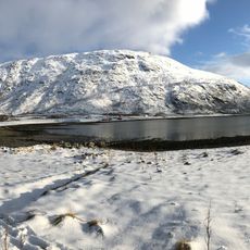
Drive carefully across the bridge, especially during strong winds that can affect traffic flow and create challenging conditions. Check local conditions before visiting the islands, particularly during stormy weather when wind gusts may temporarily restrict passage.
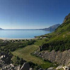
The bridge sits at 69 degrees north latitude, giving access to an area that experiences 69 consecutive days of sunlight from May to July. During these months, darkness does not fall, creating an unusual natural phenomenon that visitors travel far to witness.
The community of curious travelers
AroundUs brings together thousands of curated places, local tips, and hidden gems, enriched daily by 60,000 contributors worldwide.