
Kjøllsæter Bridge, bridge in Rena, Åmot
Location: Åmot
Inception: 2006
GPS coordinates: 61.22170,11.49430
Latest update: April 14, 2025 19:24
Budor
32 km
Hernes Church
33.7 km
Korpreiret
30.2 km
Nordre Osen Church
9.3 km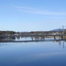
Glåmbrua i Elverum
37.9 km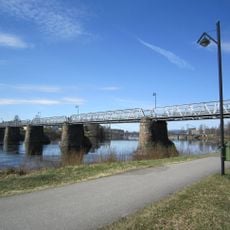
Gamlebrua, Elverum
38.2 km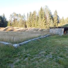
Terningen skanse
37.7 km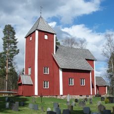
Old Nordre Osen Church
16.9 km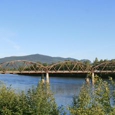
Evenstad bru
31.1 km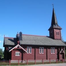
Evenstad Church
28.1 km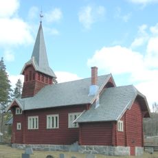
Sjøli Church
30.3 km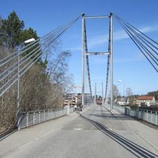
Nybrua
37.9 km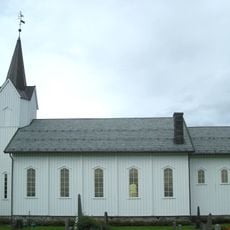
Sørskogbygda Church
34.5 km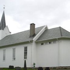
Nordskogbygda Church
27.7 km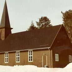
Tørberget Church
34.4 km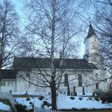
Søre Osen Church
23.2 km
Nordskogbygda
27.7 km
Deset Church
9.3 km
Strand Church
14.1 km
Sørlistøa Fløtermuseum
17.4 km
Kirkeby oppvekstsenter
27.8 km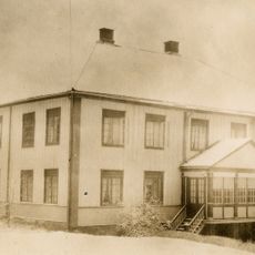
Åmot prestegård
11 km
Størigarden
28.6 km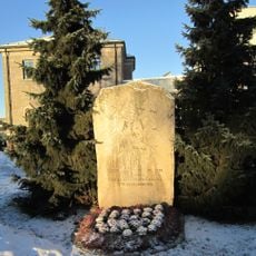
Triangelparken
38.3 km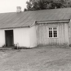
Svea strand
13.1 km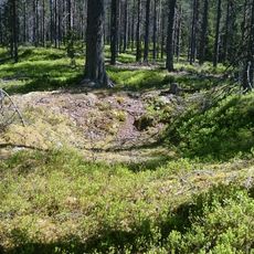
Kullgrop, Hamar
36.5 km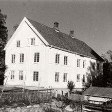
Møystad
33.1 km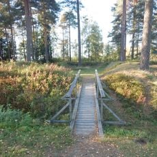
Grindalen skanse
37.4 kmReviews
Visited this place? Tap the stars to rate it and share your experience / photos with the community! Try now! You can cancel it anytime.
Discover hidden gems everywhere you go!
From secret cafés to breathtaking viewpoints, skip the crowded tourist spots and find places that match your style. Our app makes it easy with voice search, smart filtering, route optimization, and insider tips from travelers worldwide. Download now for the complete mobile experience.

A unique approach to discovering new places❞
— Le Figaro
All the places worth exploring❞
— France Info
A tailor-made excursion in just a few clicks❞
— 20 Minutes