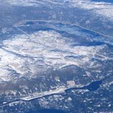
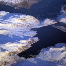
Tunhovdfjorden, lake in Nore og Uvdal, Buskerud, Norway
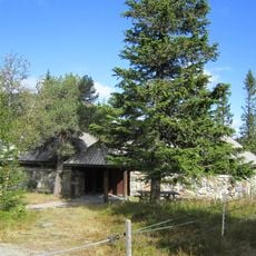
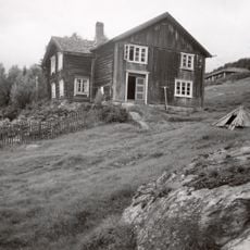
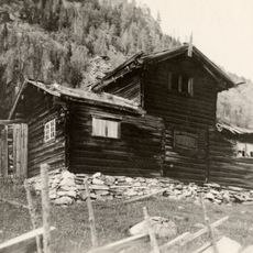
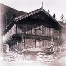
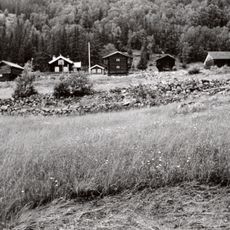
Tunhovdfjorden is a large lake in Nore og Uvdal Municipality, surrounded by forests and mountains with clear water throughout. It serves as a reservoir for the Nore 1 hydroelectric power plant and has an extensive shoreline offering various spots for exploration and recreation.
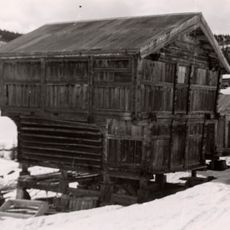
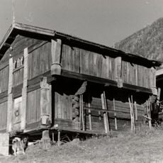
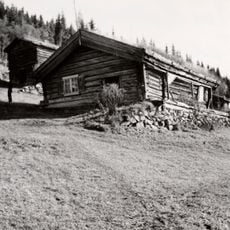
The lake was formed by glaciers during the last ice age, creating a natural basin that shaped the landscape. Local people have fished and traveled these waters for generations, later establishing it as a reservoir for hydroelectric power generation.
The area is easily accessible by car with parking near the water and marked trails for walking and biking available. Visitors should be aware that the lake freezes in winter and weather conditions can change quickly, particularly at higher elevations in the surrounding landscape.
The lake serves dual purposes, generating electricity for the region while remaining a quiet spot for traditional fishing, with water levels carefully managed to balance both functions. This balanced use allows visitors to experience energy production and natural tranquility at the same location.
The community of curious travelers
AroundUs brings together thousands of curated places, local tips, and hidden gems, enriched daily by 60,000 contributors worldwide.