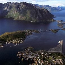
Skottinden, Mountain summit in Vestvågøy Municipality, Norway.
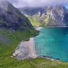
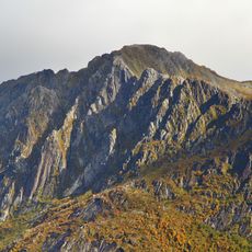
Skottinden is a 671 meter summit on the southwestern peninsula of Vestvågøya with steep terrain and rocky ground near the top. The mountain features technical scrambling sections across rocky outcrops with vertical cliff exposures that demand careful footwork.
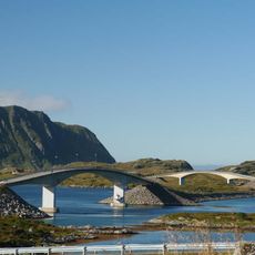
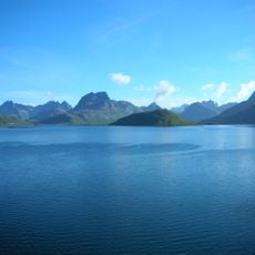
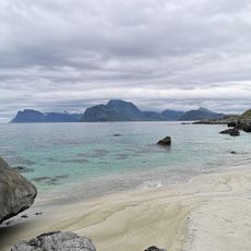
The mountain served as a geographic marker for ships navigating the Nappstraumen strait between Vestvågøya and Flakstadøya. This role in maritime history made the summit a known landmark in local seafaring traditions.
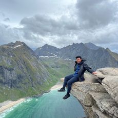
Hikers who reach the top sign a logbook kept in an orange emergency box beside the antenna at the summit. This simple tradition connects visitors and reflects how the mountain matters to the local climbing community.
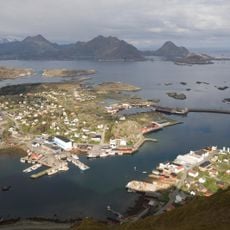
The climb takes about two hours from the trailhead starting at an unpaved parking area near Gravdal sentrum. Good footwear and attention are essential since rocky ground and technical sections near the summit require concentrated movement.
An antenna stands at the summit, changing the peak skyline and marking it as a point of local technical importance. This structure sits right beside the logbook, showing how the mountain serves modern communication needs alongside its role for hikers.
The community of curious travelers
AroundUs brings together thousands of curated places, local tips, and hidden gems, enriched daily by 60,000 contributors worldwide.