Høgfjellet, mountain top in Norway
Location: Trysil Municipality
Elevation above the sea: 1,065 m
GPS coordinates: 61.60500,11.87670
Latest update: March 7, 2025 18:41
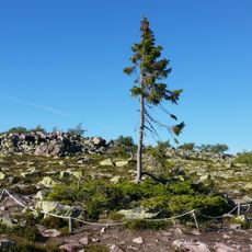
Old Tjikko
42.5 km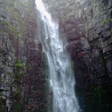
Njupeskär
43.1 km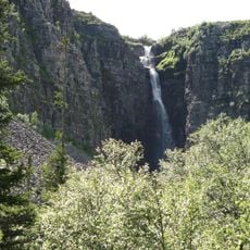
Fulufjället National Park
43.2 km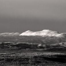
Trysilfjellet
37 km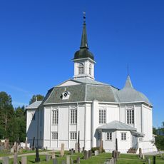
Stor-Elvdal Church
44.8 km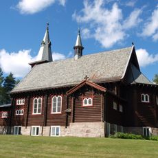
Nordre Osen Church
40.2 km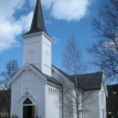
Trysil Church
38 km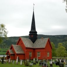
Ytre Rendal Church
40.6 km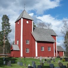
Old Nordre Osen Church
34.4 km
Isterfossen
34.3 km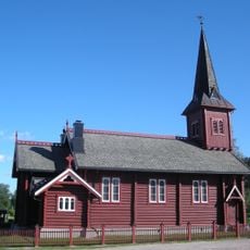
Evenstad Church
45.3 km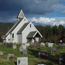
Nordre Trysil Church
25.3 km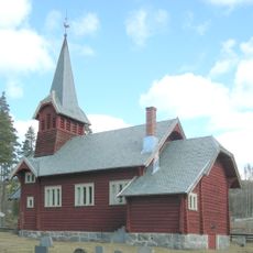
Sjøli Church
33.4 km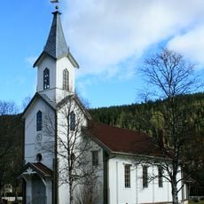
Engerdal Church
17.6 km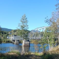
Stai bru
45.2 km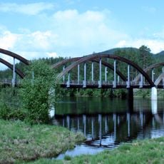
Nybergsund bru
45 km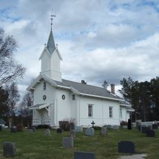
Drevsjø Church
32.2 km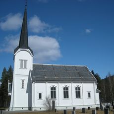
Deset Church
40.2 km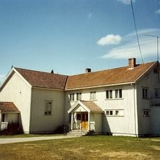
Koppang Church
44.6 km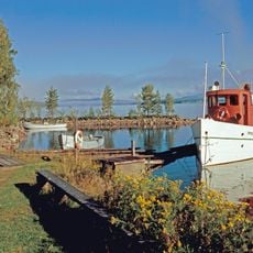
Sørlistøa Fløtermuseum
40.6 km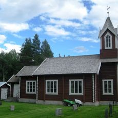
Søre Elvdal Church
8.5 km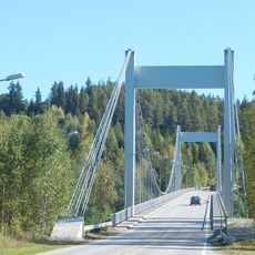
Sundfloen bridge
45.5 km
Engerdal
17.7 km
Øvergård
45 km
Vestgård søndre
45 km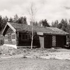
Lillestu
44.1 km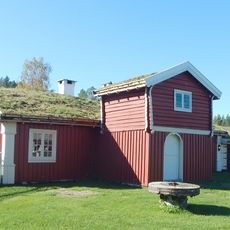
Trønnes nordre, Nordstumoen
46.5 km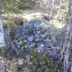
Tradisjonslokalitet
13 kmReviews
Visited this place? Tap the stars to rate it and share your experience / photos with the community! Try now! You can cancel it anytime.
Discover hidden gems everywhere you go!
From secret cafés to breathtaking viewpoints, skip the crowded tourist spots and find places that match your style. Our app makes it easy with voice search, smart filtering, route optimization, and insider tips from travelers worldwide. Download now for the complete mobile experience.

A unique approach to discovering new places❞
— Le Figaro
All the places worth exploring❞
— France Info
A tailor-made excursion in just a few clicks❞
— 20 Minutes