
Finndalshødn, Berggipfel in Norwegen
Location: Vang
Elevation above the sea: 1,100 m
GPS coordinates: 61.19240,8.29319
Latest update: June 11, 2025 23:03

Borgund Stave Church
30.5 km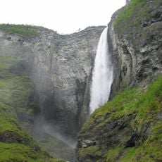
Vettisfossen
28 km
Vindhellavegen
31 km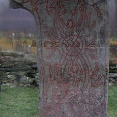
Vang stone
16.9 km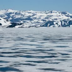
Tyin
10.9 km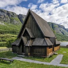
Øye stave church
6.3 km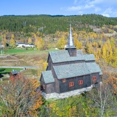
Høre stave church
27.8 km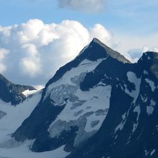
Store Knutsholstinden
29.5 km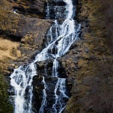
Utladalen Landscape Protection Area
28.5 km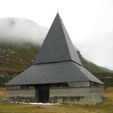
St. Thomas Church
9.5 km
Gjendebu
30.6 km
Urdanostindene
27.2 km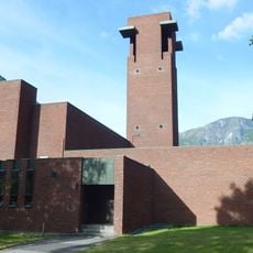
Farnes Church
29.4 km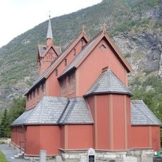
Årdal Church
31.8 km
Skarddalseggi
32.7 km
Vesle Knutsholstinden
29.3 km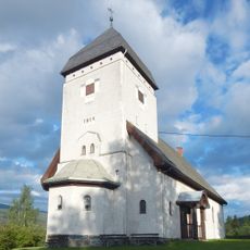
Lomen Church
32.8 km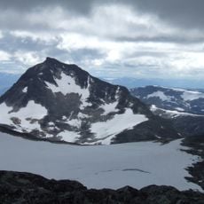
Mjølkedalstinden
29.8 km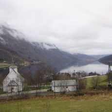
Øye church
6.4 km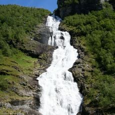
Hjellefossen
27.5 km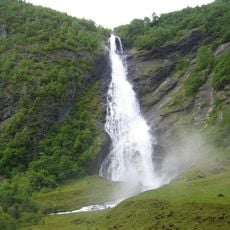
Avdalsfossen
28.3 km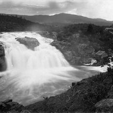
Ryfossen
29.2 km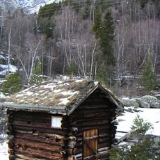
Leinekvernene
13.6 km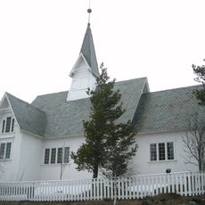
Heensåsen Church
21.7 km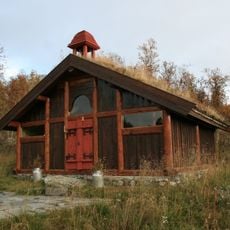
Harahorn chapel
30 km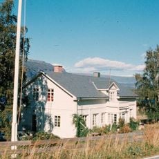
Vang prestegård
16.9 km
Medgarden
29.8 km
Kvamme nedre
32.3 kmReviews
Visited this place? Tap the stars to rate it and share your experience / photos with the community! Try now! You can cancel it anytime.
Discover hidden gems everywhere you go!
From secret cafés to breathtaking viewpoints, skip the crowded tourist spots and find places that match your style. Our app makes it easy with voice search, smart filtering, route optimization, and insider tips from travelers worldwide. Download now for the complete mobile experience.

A unique approach to discovering new places❞
— Le Figaro
All the places worth exploring❞
— France Info
A tailor-made excursion in just a few clicks❞
— 20 Minutes