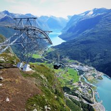
Bergsetnakken, Berggipfel in Norwegen
Location: Stryn Municipality
Elevation above the sea: 819 m
GPS coordinates: 61.87008,6.45198
Latest update: June 11, 2025 18:29
Loen Skylift
20.2 km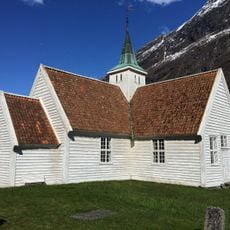
Old Olden Church
19 km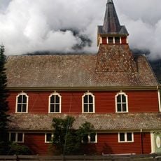
Olden Church
19.3 km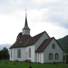
Innvik Church
8.9 km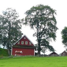
Karnilshaugen
16.8 km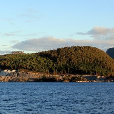
Anda
19.6 km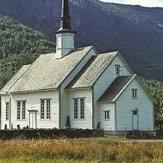
Hornindal Church
12 km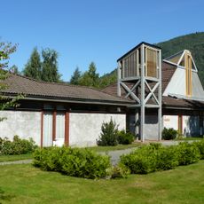
Sandane Church
16.3 km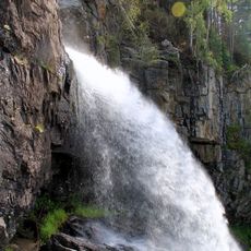
Tvinnefossen
5.4 km
Nordsida Church
4.1 km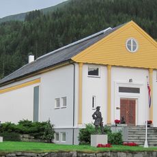
Anders Svor Museum
11.3 km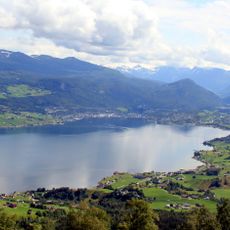
Gloppefjorden
19.4 km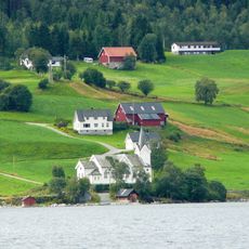
Gimmestad Church
19 km
Innvikfjorden
5.5 km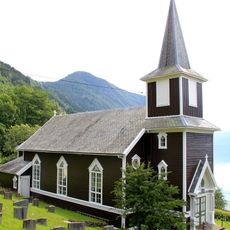
Randabygd Church
6.9 km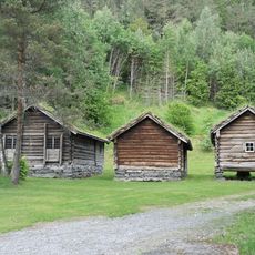
Nordfjord Folkemuseum
16.3 km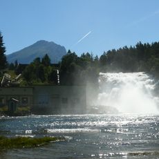
Eidsfossen
16.7 km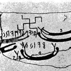
Kårstad-ristningen
7.9 km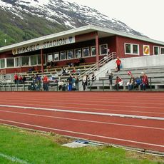
Byrkjelo stadion
15.6 km
Utfjorden
8.1 km
Heradsplassen
16.2 km
Austrheim kirke
16.5 km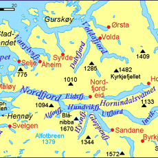
Faleidsfjorden
8.1 km
Gloppen prestegård
17.2 km
Evebøfossen
17.3 km
Indre Hornindal
16.3 km
GROTHAUG - GRØTHAUG
11.3 km
LIEN, OLSBØ
11.1 kmReviews
Visited this place? Tap the stars to rate it and share your experience / photos with the community! Try now! You can cancel it anytime.
Discover hidden gems everywhere you go!
From secret cafés to breathtaking viewpoints, skip the crowded tourist spots and find places that match your style. Our app makes it easy with voice search, smart filtering, route optimization, and insider tips from travelers worldwide. Download now for the complete mobile experience.

A unique approach to discovering new places❞
— Le Figaro
All the places worth exploring❞
— France Info
A tailor-made excursion in just a few clicks❞
— 20 Minutes