
Hetta, summit in Vinje, Norway
Location: Vinje
Elevation above the sea: 949 m
GPS coordinates: 59.74568,7.41699
Latest update: April 28, 2025 21:34

Haukelifjell
17.5 km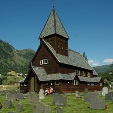
Røldal stave church
34.6 km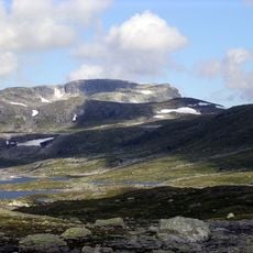
Sandfloegga
26.9 km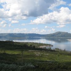
Songavatnet
13.4 km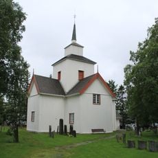
Rauland Church
32.8 km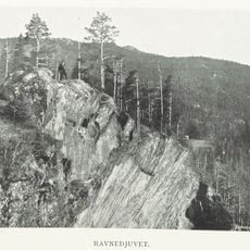
Ravnejuv
42.6 km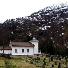
Grunge
19.6 km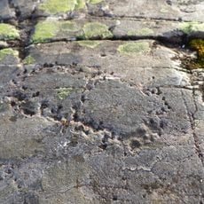
Felsritzungen von Sporanes
34.3 km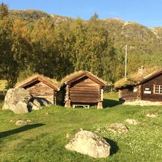
Myllarheimen
17.7 km
Grunge kyrkje
15.9 km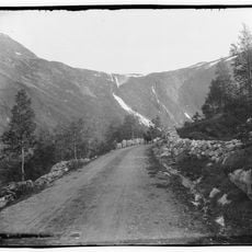
Novlefoss
31.5 km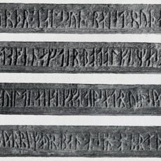
Runes of Sigurd Jarlsson
27.8 km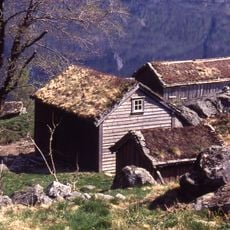
Røynevarden
40.3 km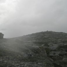
Stokkholmen
20.3 km
MO ØVRE
39.1 km
GARDSJORD (NORDIGARD MIDGARDEN)
35 km
SANDÅK (SANDAAK, SANDOK)
40.6 km
HEGGJESTØYL HEGGSTØYL - VINJE
26.8 km
HYLLAND NORDRE
37.7 km
VINJE PRESTEGÅRD
27.9 km
Nystog
39 km
DJUVLAND SØNDRE / Gjuvland søre
36.4 km
Vinje prestegård
27.9 km
Botne
36.3 km
SÆREND SUISTOG (SÆREN, SUDISTOG)
33.4 km
FETVEIT
29.5 km
MO NEDRE
39.1 km
PLASSEN (VINJESTOGA)
27.1 kmReviews
Visited this place? Tap the stars to rate it and share your experience / photos with the community! Try now! You can cancel it anytime.
Discover hidden gems everywhere you go!
From secret cafés to breathtaking viewpoints, skip the crowded tourist spots and find places that match your style. Our app makes it easy with voice search, smart filtering, route optimization, and insider tips from travelers worldwide. Download now for the complete mobile experience.

A unique approach to discovering new places❞
— Le Figaro
All the places worth exploring❞
— France Info
A tailor-made excursion in just a few clicks❞
— 20 Minutes