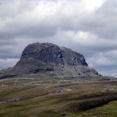
Sandfloegga, Mountain summit in Ullensvang Municipality, Norway
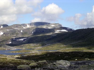
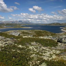
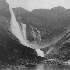
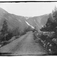
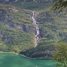
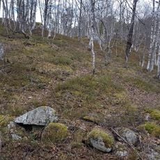
Sandfloegga rises to 1,721 meters and forms the dominant peak in the southern section of the Hardangervidda plateau. The mountain features steep slopes leading to a relatively open summit area that offers expansive views across the plateau terrain.
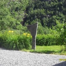
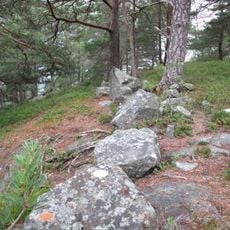
The mountain served as a geographical boundary marker between administrative regions for centuries, shaping Norwegian territorial divisions. This role as a survey landmark influenced how mountain areas were organized and managed across the region.
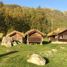
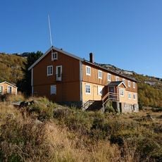
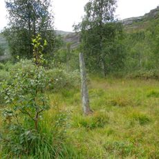
Local shepherds use the slopes around this peak to graze their flocks during summer, maintaining pastoral traditions that have shaped mountain life for centuries. The presence of grazing animals remains a visible part of how people interact with this landscape today.
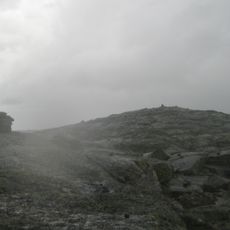
Hikers should prepare for changing weather and bring navigation tools, as mountain fog can significantly reduce visibility on the exposed slopes. Sturdy footwear and good orientation skills are important for safely moving around the open plateau terrain.
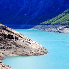
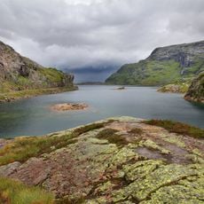
From the summit, visitors can see three major Norwegian glaciers: Folgefonna to the northwest, Hardangerjøkulen to the northeast, and additional ice fields. This view is particularly striking when visibility is clear and the ice masses stand out against the surrounding terrain.
The community of curious travelers
AroundUs brings together thousands of curated places, local tips, and hidden gems, enriched daily by 60,000 contributors worldwide.