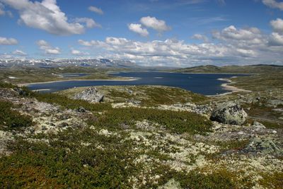
Hardangervidda National Park, National park on mountain plateau in southern Norway
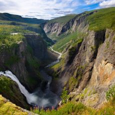
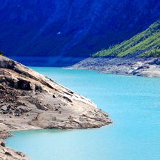
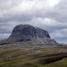
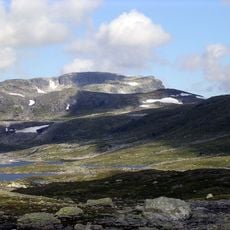
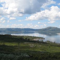
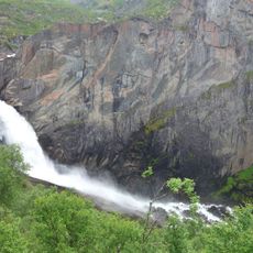
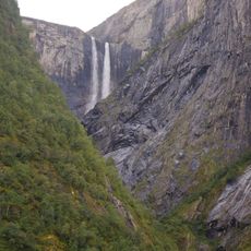
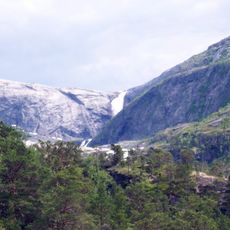
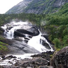
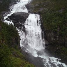
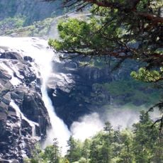
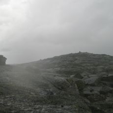
Hardangervidda is a mountain plateau in southern Norway that spans across multiple municipalities and consists of open, windswept terrain dotted with lakes. The landscape appears sparse and treeless at the higher elevations, with a harsh climate that shapes what can grow there.
People settled on this plateau during the Stone Age and followed reindeer migration routes that passed through the area. This early connection between human settlement and animal movement shaped how the region has been used over thousands of years.
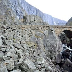
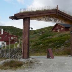
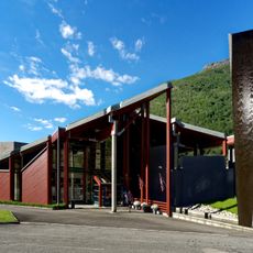
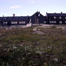
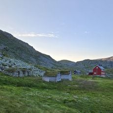
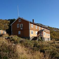
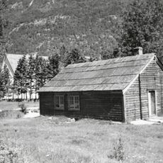
This place has long been valued by Norwegians as a destination for outdoor walking and exploration. The network of pathways and basic mountain shelters that dot the area reflect generations of people using these highlands as a place to move through nature.
The best time to visit for walking is during the warmer months when trails are most accessible and weather is more stable. Winter brings snowy conditions that appeal to skiers, but the terrain becomes harsh and requires proper preparation and experience.
This area holds Europe's largest mountain plateau and serves as a refuge for a wild reindeer population that roams here freely. These animals are rare elsewhere in Europe and remain an integral part of the plateau's natural system.
The community of curious travelers
AroundUs brings together thousands of curated places, local tips, and hidden gems, enriched daily by 60,000 contributors worldwide.