
Nipenotten, Berggipfel in Norwegen
Location: Ullensvang Municipality
Elevation above the sea: 960 m
GPS coordinates: 60.23990,6.32149
Latest update: April 11, 2025 23:29
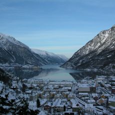
Sørfjorden
15.1 km
Tyssedal Hydroelectric Power Station
18.5 km
Agatunet
16.9 km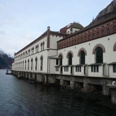
Norwegian Museum of Hydropower and Industry
18.5 km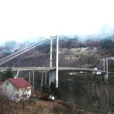
Fyksesund Bridge
18.1 km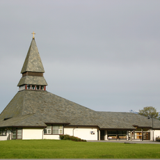
Norheimsund Church
17.3 km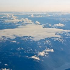
Nordre Folgefonna
8.4 km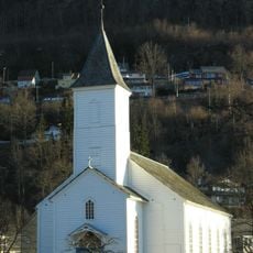
Øystese Church
17.7 km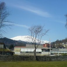
Kabuso
17.7 km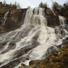
Furebergsfossen
17.7 km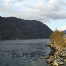
Maurangsfjorden
17.1 km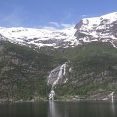
Ædnafossen
16.7 km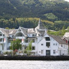
Sandven Hotel
17.5 km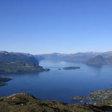
Samlafjorden
17.2 km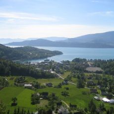
Hissfjorden
15.6 km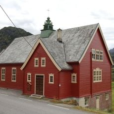
Haugatun
17.4 km
Øystese stavkirke
18 km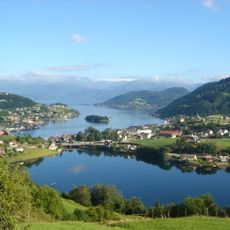
Ytre Samlafjorden
11.9 km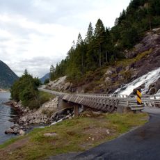
Furebergfossen bru
17.7 km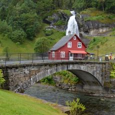
Steinsdals Bridge
18.8 km
Folgefonn l
16.9 km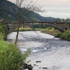
Steinsdal bru
18.8 km
Vikøy manse
14.7 km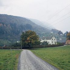
Strandebarm manse
17.3 km
Herand sag
12.1 km
Handegard - Fetts fk. 1, Vassete
6.7 km
Sunndal - Olavssteinen
13.8 km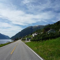
Strada panoramica Hardanger
13.2 kmReviews
Visited this place? Tap the stars to rate it and share your experience / photos with the community! Try now! You can cancel it anytime.
Discover hidden gems everywhere you go!
From secret cafés to breathtaking viewpoints, skip the crowded tourist spots and find places that match your style. Our app makes it easy with voice search, smart filtering, route optimization, and insider tips from travelers worldwide. Download now for the complete mobile experience.

A unique approach to discovering new places❞
— Le Figaro
All the places worth exploring❞
— France Info
A tailor-made excursion in just a few clicks❞
— 20 Minutes