
Flogan, جرف في مولده، النرويج
Location: Molde Municipality
Elevation above the sea: 33 m
GPS coordinates: 62.66742,6.64316
Latest update: March 5, 2025 00:06
Lepsøy Bridge
21.5 km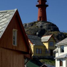
Ona Lighthouse
22.3 km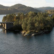
Skodje Bridges
18.4 km
Brattvåg Church
12.6 km
Lepsøyrevet
22.2 km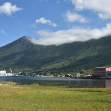
Tomrefjorden
14.1 km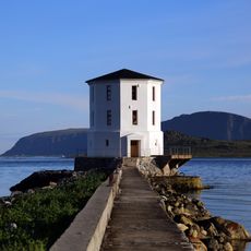
Lepsøyrevet fyr
21.6 km
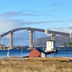
Midsund Bridge
1.3 km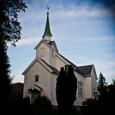
Vatne Church
12.7 km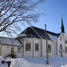
Skodje Church
18.2 km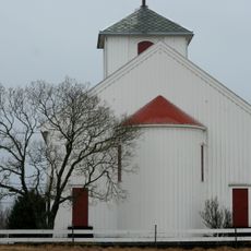
Hildre Church
16.9 km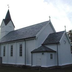
Fjørtoft Church
14.4 km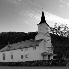
Otrøy Church
4.8 km
Flatflesa Lighthouse
19.2 km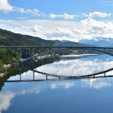
Straumsbrua, Skodje
18.3 km
Midfjorden
2.6 km
Storfjorden
19.7 km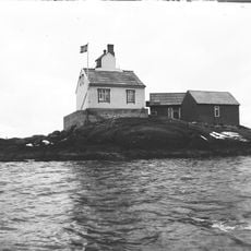
Rødholmen fyr
13.6 km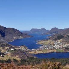
Vatnefjorden
8.4 km
Samfjorden
12.8 km
Vatne bru
12.5 km
Aukra prestegard
19.5 km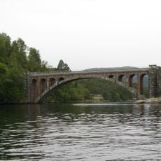
Heggjestraumsbrua
18.5 km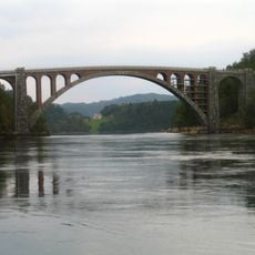
Skodjebrua
18.4 km
Blåskjerdingen
9.3 km
SOLNØR
20.5 km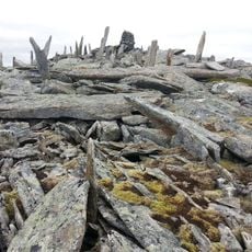
Keipen
10.1 km
Sjøholt hotell
22.3 kmReviews
Visited this place? Tap the stars to rate it and share your experience / photos with the community! Try now! You can cancel it anytime.
Discover hidden gems everywhere you go!
From secret cafés to breathtaking viewpoints, skip the crowded tourist spots and find places that match your style. Our app makes it easy with voice search, smart filtering, route optimization, and insider tips from travelers worldwide. Download now for the complete mobile experience.

A unique approach to discovering new places❞
— Le Figaro
All the places worth exploring❞
— France Info
A tailor-made excursion in just a few clicks❞
— 20 Minutes