
Ytterfloget, جرف في فاردو، النرويج
Location: Vardø Municipality
Elevation above the sea: 60 m
GPS coordinates: 70.25155,30.54083
Latest update: May 16, 2025 12:01
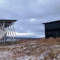
Steilneset Memorial
24.5 km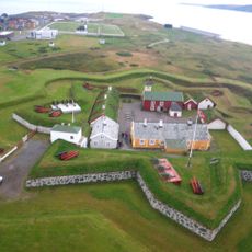
Vardøhus Fortress
24.7 km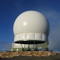
Globus II
25.5 km
Varangerhalvøya National Park
35.3 km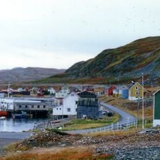
Syltefjord
34.9 km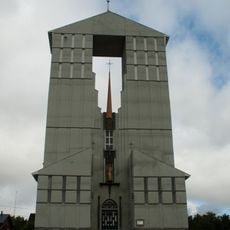
Vadsø Church
35.7 km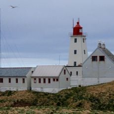
Vardø Lighthouse
27.7 km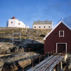
Bøkfjord Lighthouse
43.9 km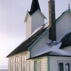
Vardø Chapel
24.7 km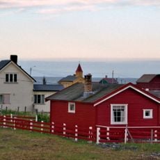
Skallelv Chapel
10.4 km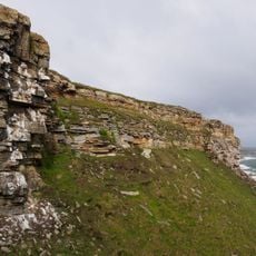
Ekkerøya
25.3 km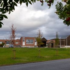
Vadsø museum – Ruija kvenmuseum
35.6 km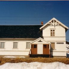
Kiberg bedehuskapell
17.1 km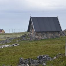
Smelror kapell
23.9 km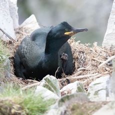
Hornøya og Reinøya
27.4 km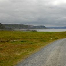
Ytre Syltevika
32.6 km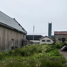
Kirkegårdslokalitet
25.1 km
BRODTKORBSJÅENE
25 km
Vardø gamle barneskole
25.1 km
Wilsgaardhuset, Hamningberg
32.2 km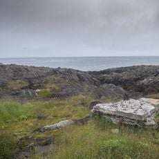
Gullringneset - Vardøhus batteri
25 km
Den gamle bygrunn
25.1 km
Esbensengården, Hamningberg
32.3 km
Storhurraen, Hamningberg
32.2 km
HAMNINGBERG VÆREIERANLEGG
32.2 km
Husegården
25 km
Vardø slipp
25.1 km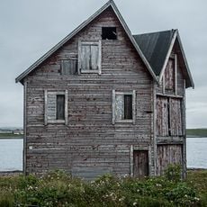
Tørrfisksjåer i Strandgata i Vardø
25.8 kmReviews
Visited this place? Tap the stars to rate it and share your experience / photos with the community! Try now! You can cancel it anytime.
Discover hidden gems everywhere you go!
From secret cafés to breathtaking viewpoints, skip the crowded tourist spots and find places that match your style. Our app makes it easy with voice search, smart filtering, route optimization, and insider tips from travelers worldwide. Download now for the complete mobile experience.

A unique approach to discovering new places❞
— Le Figaro
All the places worth exploring❞
— France Info
A tailor-made excursion in just a few clicks❞
— 20 Minutes