
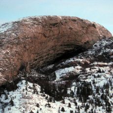
Langtrappen
Location: Flatanger
Elevation above the sea: 4 m
GPS coordinates: 64.41512,10.74507
Latest update: August 22, 2025 11:53
Hanshelleren Cave
9 km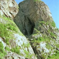
Harbakshola
50 km
Kya Lighthouse
26.2 km
Buholmråsa Lighthouse
14.1 km
Namsenfjorden
22.8 km
Nordøyan Lighthouse
43.6 km
Gjeslingene Lighthouse
35.1 km
Norwegian Sawmill Museum
37.1 km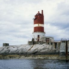
Kaura Lighthouse
36 km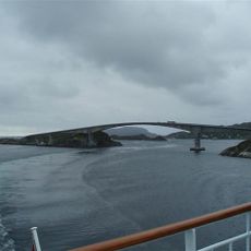
Stokkøy Bridge
53.3 km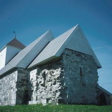
Old Nærøy Church
51.4 km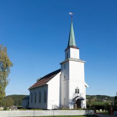
Malm Church
44.8 km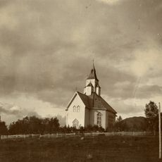
Otterøy Church
28.6 km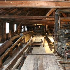
Spillum Dampsag & Høvleri
37.3 km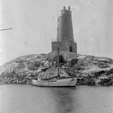
Grinna Lighthouse
39.3 km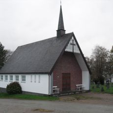
Bartnes Church
46.4 km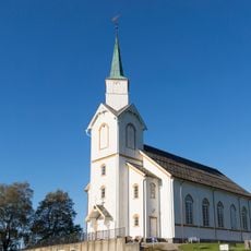
Beitstad Church
46.2 km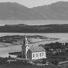
Løvøy Church
12.7 km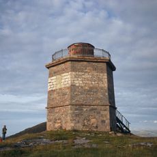
Villa Lighthouse
14.8 km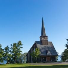
Follafoss Church
51.1 km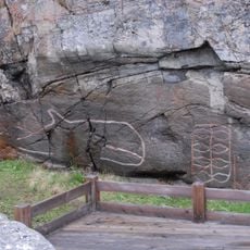
Strand/Høvikskaret
17 km
Sela Church
45.7 km
Følling Church
52 km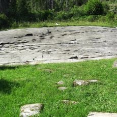
Bardal rock art site
51.7 km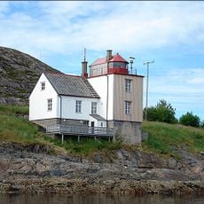
Nærøysund Lighthouse
52.1 km
Namsbrua
38.8 km
Beitstadsundet
46.6 km
Seierstadfjorden
37.4 kmReviews
Visited this place? Tap the stars to rate it and share your experience / photos with the community! Try now! You can cancel it anytime.
Discover hidden gems everywhere you go!
From secret cafés to breathtaking viewpoints, skip the crowded tourist spots and find places that match your style. Our app makes it easy with voice search, smart filtering, route optimization, and insider tips from travelers worldwide. Download now for the complete mobile experience.

A unique approach to discovering new places❞
— Le Figaro
All the places worth exploring❞
— France Info
A tailor-made excursion in just a few clicks❞
— 20 Minutes