
Grotberget
Location: Sel Municipality
Elevation above the sea: 710 m
GPS coordinates: 61.69858,9.47705
Latest update: September 16, 2025 03:03
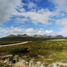
Rondane National Park
20.3 km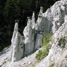
Kvitskriuprestan
14.3 km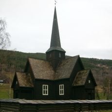
Heidal Church
9.4 km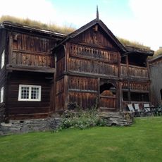
Søre Harildstad
10.6 km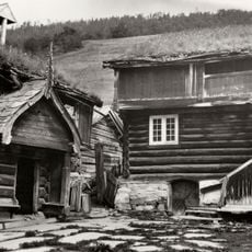
Bjølstad Farm
12.3 km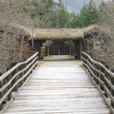
Jørundgard Middelaldersenter
16.6 km
Pillarguritoppen
6.9 km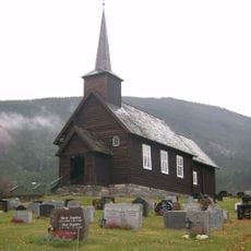
Nord-Sel Church
17.1 km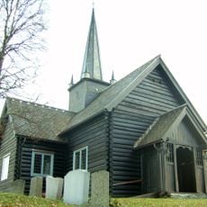
Skåbu Church
19.2 km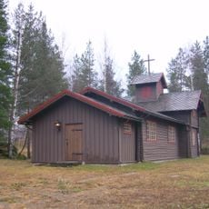
Sjoa kapell
4.2 km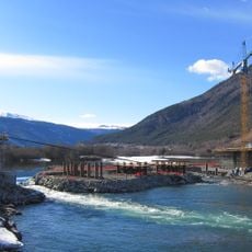
Lågen bru
11.3 km
Otta bykirke
8.6 km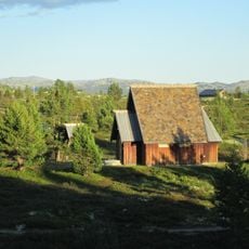
Rossbu kapell
17.2 km
Byrbrua
17.8 km
Kvambrua
11.4 km
Romundgard
16.3 km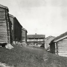
Rudi
12.8 km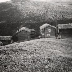
Risdal nordre, nordre risdal
18.4 km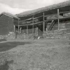
Harlaug
7 km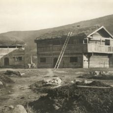
Kruke
9.8 km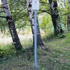
Vik
13.6 km
Klomstad Skottelåven
12.9 km
Snerle sygard
20.6 km
Megarden, megaarden
17 km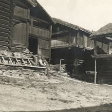
Harildstad nordre, harildstad nordigard,
10.8 km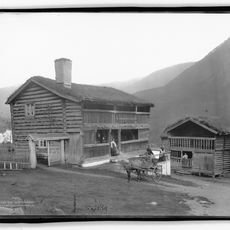
Åsåren,nedre aasoren
10.8 km
Bruløkken, broløkken
10.8 km
PRESTGARD NORDRE, NØRDRE PRESTGARD
11.7 kmReviews
Visited this place? Tap the stars to rate it and share your experience / photos with the community! Try now! You can cancel it anytime.
Discover hidden gems everywhere you go!
From secret cafés to breathtaking viewpoints, skip the crowded tourist spots and find places that match your style. Our app makes it easy with voice search, smart filtering, route optimization, and insider tips from travelers worldwide. Download now for the complete mobile experience.

A unique approach to discovering new places❞
— Le Figaro
All the places worth exploring❞
— France Info
A tailor-made excursion in just a few clicks❞
— 20 Minutes