Rabnabjør
Location: Vindafjord
Elevation above the sea: 297 m
GPS coordinates: 59.45250,5.64320
Latest update: April 1, 2025 04:32
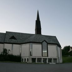
Skjold Church
6.7 km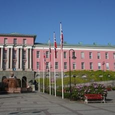
Haugesund City Hall
21.3 km
Førdesfjorden
18.2 km
Vindafjorden
20.4 km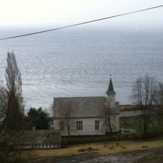
Imsland Church
19.7 km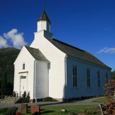
Vats Church
6.5 km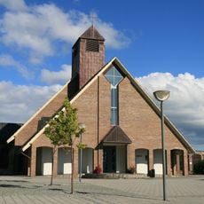
Aksdal Church
11.6 km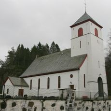
Førde Church
20 km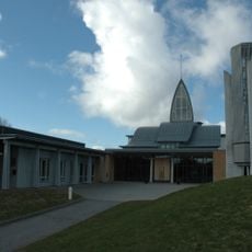
Udland Church
21.2 km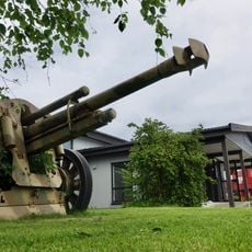
Arquebus krigshistorisk museum
15.1 km
Rex Garden
20.7 km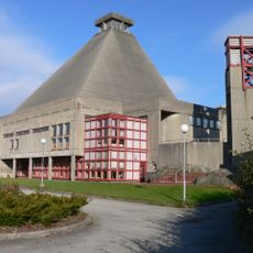
Rossabø Church
20.9 km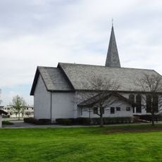
Norheim Church
20.6 km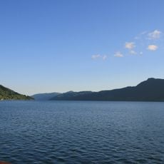
Sandeidfjorden
12.8 km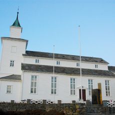
Sveio Church
19.3 km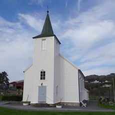
Førre Church
15.2 km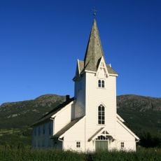
Sandeid Church
16 km
Skjoldafjorden
13.4 km
Skjoldastraumen Church
2.8 km
Vikebygd Church
15.8 km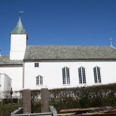
Hausken Church
16.3 km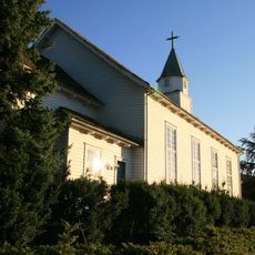
Ølen Church
19.1 km
Ålfjorden
17.2 km
Yrkefjorden
8.2 km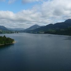
Vatsfjord
5.8 km
Sandsgård
16.6 km
Krossfjorden
13.1 km
Tuastad bedehuskapell
19.9 kmReviews
Visited this place? Tap the stars to rate it and share your experience / photos with the community! Try now! You can cancel it anytime.
Discover hidden gems everywhere you go!
From secret cafés to breathtaking viewpoints, skip the crowded tourist spots and find places that match your style. Our app makes it easy with voice search, smart filtering, route optimization, and insider tips from travelers worldwide. Download now for the complete mobile experience.

A unique approach to discovering new places❞
— Le Figaro
All the places worth exploring❞
— France Info
A tailor-made excursion in just a few clicks❞
— 20 Minutes