
Hofsfoss, Wasserfall in Norwegen
Location: Søndre Land Municipality
GPS coordinates: 60.66719,10.16310
Latest update: March 21, 2025 03:26
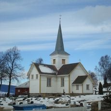
Hov Church
10.8 km
Fjorda
25.2 km
Lands Museum
19.4 km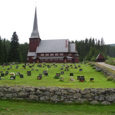
Skute Church
9.8 km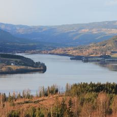
Dokkadeltaet
14.9 km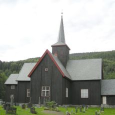
Nordsinni Church
22.4 km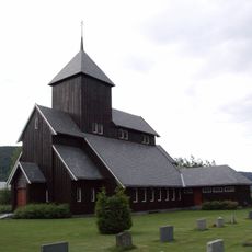
Begnadalen Church
20.8 km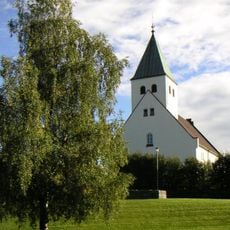
Raufoss Church
25.2 km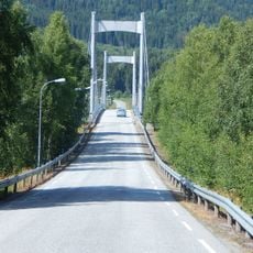
Fluberg bridge
11.1 km
Bautahaugen Samlinger
24.9 km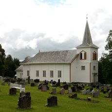
Østsinni Church
20.8 km
Vikerfjell
25.1 km
Toten Badeland
24.2 km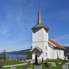
Sørum Church
18.3 km
Åvella power station
15.1 km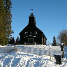
Vølstad Church
19.9 km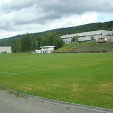
Dokka stadion
19.6 km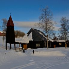
Landåsbygda Church
19.9 km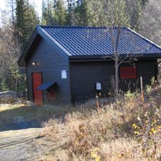
Øvre Åvella power station
14.1 km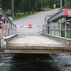
Tangen ferry quay
19.7 km
Søndre Land prestegård
12.4 km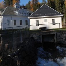
Rørgate inntaksdammen - Åvella kraftverk
14.1 km
Eina Meieri
24.1 km
Demning, Smedshammer
25.2 km
Ljåsmia under Smedshammer
25.2 km
Nørstelien, Nørsteliløkken, Nørsteliløkka, museum
19.5 km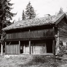
Kvalby-haugen, Kvalbyhaugen, lands bygdemuseum
19.5 km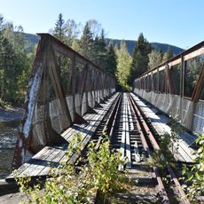
Jernbanebrua, Dokka/Etna
18.8 kmReviews
Visited this place? Tap the stars to rate it and share your experience / photos with the community! Try now! You can cancel it anytime.
Discover hidden gems everywhere you go!
From secret cafés to breathtaking viewpoints, skip the crowded tourist spots and find places that match your style. Our app makes it easy with voice search, smart filtering, route optimization, and insider tips from travelers worldwide. Download now for the complete mobile experience.

A unique approach to discovering new places❞
— Le Figaro
All the places worth exploring❞
— France Info
A tailor-made excursion in just a few clicks❞
— 20 Minutes