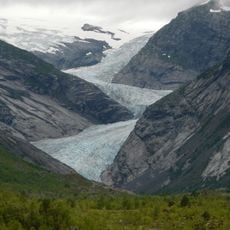
Høysteinfossen, Wasserfall in Norwegen
Location: Stryn Municipality
GPS coordinates: 61.80672,7.06481
Latest update: October 30, 2025 08:59
Jostedal Glacier
13 km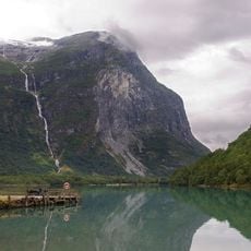
Ramnefjellsfossen
5.5 km
Lodalskåpa
7.6 km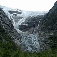
Kjenndalsbreen
9.6 km
Jostedalsbreen National Park Centre
11.6 km
Tindefjellbreen
7 km
Bødalsseter
1.2 km
Bødalsbreen
3.2 km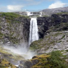
Krunefossen
6.8 km
Breifonna (Stryn)
11 km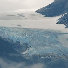
Krunebreen
7.8 km
Storekvilet
12.8 km
Scenic viewpoint
8 km
Glomnesfossen utsiktspunkt
12.8 km
Kjenndalsbreen
7.2 km
Langhammarkvilet
13 km
Scenic viewpoint
3.7 km
Scenic viewpoint
4.2 km
Kjenndalsbreen
7.2 km
Scenic viewpoint
5.7 km
Høgrenningsetra
4.9 km
Krunesfossen
4.7 km
Krunesfossen
6.8 km
Scenic viewpoint
11.7 km
Scenic viewpoint
11.7 km
Scenic viewpoint
10.3 km
Scenic viewpoint
2 km
Lookout
11 kmReviews
Visited this place? Tap the stars to rate it and share your experience / photos with the community! Try now! You can cancel it anytime.
Discover hidden gems everywhere you go!
From secret cafés to breathtaking viewpoints, skip the crowded tourist spots and find places that match your style. Our app makes it easy with voice search, smart filtering, route optimization, and insider tips from travelers worldwide. Download now for the complete mobile experience.

A unique approach to discovering new places❞
— Le Figaro
All the places worth exploring❞
— France Info
A tailor-made excursion in just a few clicks❞
— 20 Minutes