
Ramsgrøfossen, Wasserfall in Norwegen
Location: Høyanger Municipality
GPS coordinates: 61.15122,5.59329
Latest update: June 19, 2025 10:11
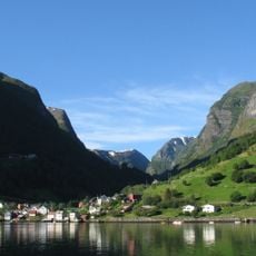
Sognefjord
23.6 km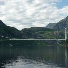
Dalsfjord Bridge
27.2 km
Lihesten
19.9 km
Dalsfjorden
28.8 km
Lifjorden
19.9 km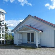
Hellevik Chapel
28.7 km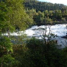
Osfossen
24.5 km
Røde Kors Haugland Rehabiliteringssenter
24.6 km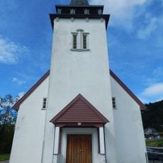
Øn Church
21.4 km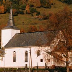
Sande Church
22.3 km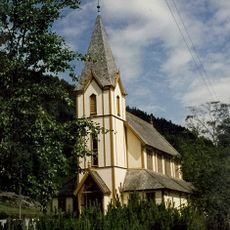
Kyrkjebø Church
17.5 km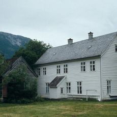
Osen gard
24.2 km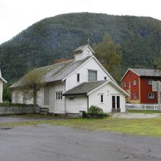
Vadheim Chapel
14.2 km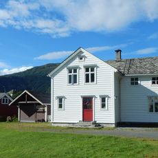
Jakob Sande-tunet
25.6 km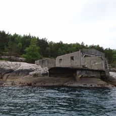
Rutledal Torpedo battery
22.2 km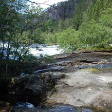
Rekevikfossen, Gaula
23.5 km
Lovisendal
16.2 km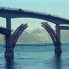
Ikjefjorden
9 km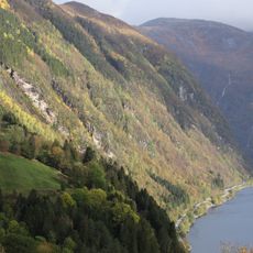
Bergsstronda
23.8 km
Flekkefjorden
25.6 km
Ikjefjordbrua
7.5 km
Haugsværsfjorden
29 km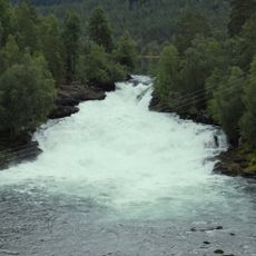
Fossfossen, Gaula
24.5 km
Lavik prestegård
7.1 km
Norwegian Millstone Park
15.9 km
Laukelandsfossen
27.6 km
SVEIO (SVEEN)
25 km
Området Parken
26.7 kmReviews
Visited this place? Tap the stars to rate it and share your experience / photos with the community! Try now! You can cancel it anytime.
Discover hidden gems everywhere you go!
From secret cafés to breathtaking viewpoints, skip the crowded tourist spots and find places that match your style. Our app makes it easy with voice search, smart filtering, route optimization, and insider tips from travelers worldwide. Download now for the complete mobile experience.

A unique approach to discovering new places❞
— Le Figaro
All the places worth exploring❞
— France Info
A tailor-made excursion in just a few clicks❞
— 20 Minutes