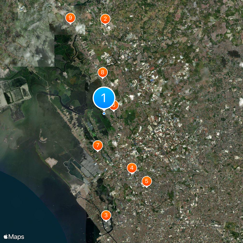
Meycauayan, Industrial component city in Bulacan, Philippines
Meycauayan is a component city in Bulacan featuring industrial parks and residential neighborhoods spread across the land. The city contains factories, warehouses, and business centers mixed with populated areas where people shop, work, and live.
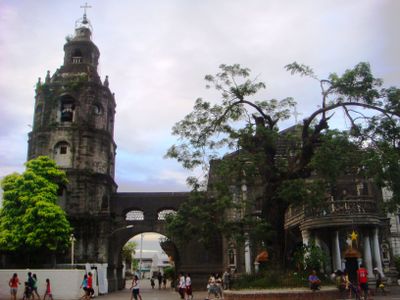
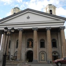
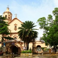
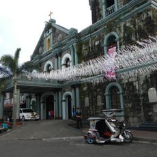
Franciscan missionaries founded the settlement in 1578, making it one of the earliest centers of Spanish colonial administration. The town later became an important trade point between Manila and the northern provinces.
The name Meycauayan comes from Tagalog words referring to bamboo forests that once covered the area. This name connection to the natural landscape remains part of how locals understand their city's roots.
The city is accessible through major highways that connect its industrial areas and residential neighborhoods. Local transportation like jeepneys and tricycles move between different districts.
Stone quarries here supplied the adobe rocks used to build the defensive walls of Intramuros in Manila during Spanish colonial times. This connection to Manila's architectural history often goes unnoticed by visitors.
Location: Bulacan
Elevation above the sea: 20 m
Shares border with: Bulakan, Caloocan, Obando, Marilao, Valenzuela
Website: http://meycauayan.gov.ph
GPS coordinates: 14.73333,120.95000
Latest update: December 17, 2025 10:02
Philippine Stadium
6.8 km
Malabon Church
8.3 km
People's Park
5.1 km
National Shrine of Our Lady of Fatima
6.5 km
Meycauayan Church
779 m
Polo Church
2.9 km
Marilao Church
2.7 km
St. Martin of Tours Parish
7.4 km
Meycauayan Tree
784 m
Birthplace of Gregorio Sanciangco historical marker
8 km
Battle of Malinta historical marker
4.8 km
Dream Wave Resort
7.5 km
Museo Valenzuela
6.6 km
UE Caloocan Soccer Field
8.8 km
Dr. Pio Valenzuela historical marker
2.8 km
Church of San Bartolome historical marker
8.3 km
Gregorio Sanciangco Shrine
8 km
The Town of Obando historical marker
3 km
The Church of Concepcion historical marker
7.2 km
Concepcion Church
7.2 km
Salvador Z. Araneta historical marker
8.7 km
Headquarters of the Military Operations in Manila historical marker
3 km
Pio Valenzuela historical marker
2.8 km
Church of Obando historical marker
2.9 km
Church of Marilao historical marker
2.7 km
Navotas Church
7.9 km
Church of Meycauayan historical marker
777 m
Church of Navotas historical marker
7.9 kmVisited this place? Tap the stars to rate it and share your experience / photos with the community! Try now! You can cancel it anytime.
Discover hidden gems everywhere you go!
From secret cafés to breathtaking viewpoints, skip the crowded tourist spots and find places that match your style. Our app makes it easy with voice search, smart filtering, route optimization, and insider tips from travelers worldwide. Download now for the complete mobile experience.
A unique approach to discovering new places❞
— Le Figaro
All the places worth exploring❞
— France Info
A tailor-made excursion in just a few clicks❞
— 20 Minutes