Obando, municipality of the Philippines in the province of Bulacan
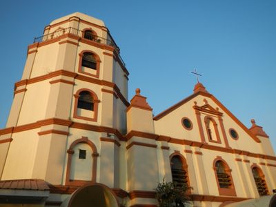
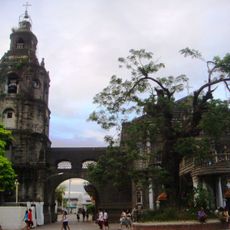
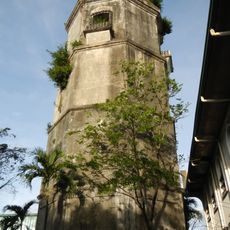
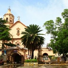
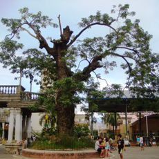
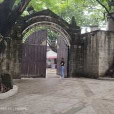
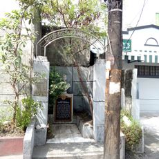
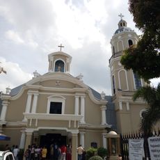
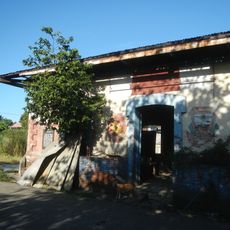
Obando is a small town in Bulacan province in the Philippines, known for its long history and local traditions deeply rooted in faith. The settlement features simple houses and quiet streets organized around a central church, where residents gather for daily life and seasonal celebrations that blend prayer with colorful dancing and processions.
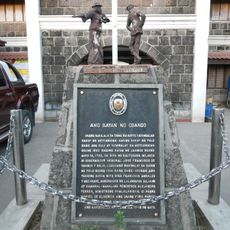
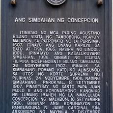
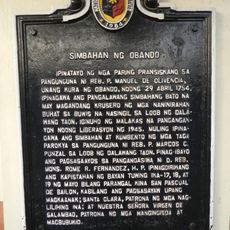
Obando became an independent town in the 18th century, named after a Spanish governor-general and separated from a larger area called Meycauayan. The settlement grew into a center for religious festivals that have drawn devotees for generations, with traditions rooted in stories of saints and prayers for blessings and good fortune.
The town takes its name from a Spanish governor-general from the 18th century, whose memory remains alive in local identity. Residents keep their traditions vibrant through the annual festival, where dancers in colorful costumes perform prayers and movements that express hopes for health, fertility, and community blessings.
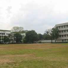
The town is easy to walk around, with compact streets and a flat layout centered on the main church where most activities happen. The best time to visit is during the festival in May when streets fill with color and activity, though the quiet pace and friendly locals make visits outside this season rewarding for experiencing everyday life.
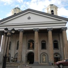
The statues of three saints are kept in private homes throughout the year and brought out only during the festival season for public veneration and procession. This practice blurs the line between the sacred and everyday life, as individual families take turns holding responsibility for housing one of the honored figures.
The community of curious travelers
AroundUs brings together thousands of curated places, local tips, and hidden gems, enriched daily by 60,000 contributors worldwide.