
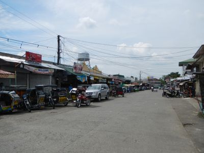
Peñaranda, municipality of the Philippines in the province of Nueva Ecija
Location: Nueva Ecija
Elevation above the sea: 38 m
Shares border with: Santa Rosa
GPS coordinates: 15.35306,121.00167
Latest update: April 9, 2025 10:38
Biak-na-Bato National Park
27.4 km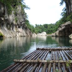
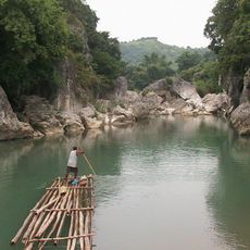
Minalungao National Park
16.1 km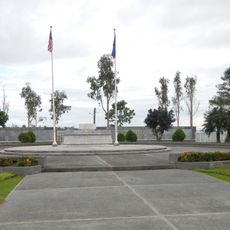
Cabanatuan American Memorial
18 km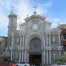
Cabanatuan Cathedral
15.7 km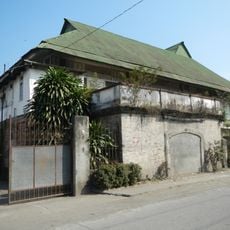
Sideco House
11.4 km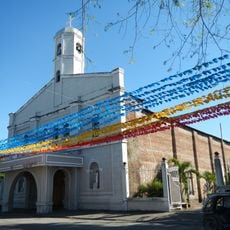
Saint Francis of Assisi Parish Church
51 m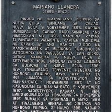
Mariano Llanera historical marker
18.9 km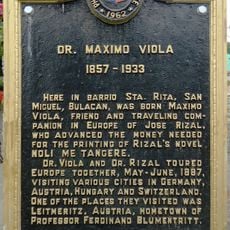
Dr. Maximo Viola historical marker
24 km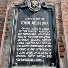
Death Place of General Antonio Luna historical marker
15.7 km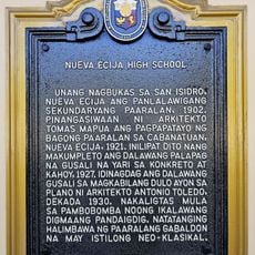
Nueva Ecija High School historical marker
15.7 km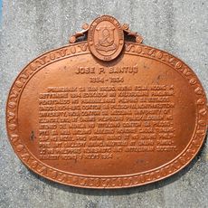
Jose P. Bantug historical marker
11.6 km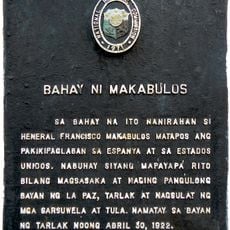
House of Makabulos historical marker
30.8 km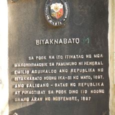
Biyaknabato historical marker
28.1 km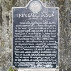
Trinidad Tecson historical marker
24.3 km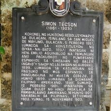
Simon Tecson historical marker
24.1 km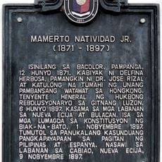
Mamerto Natividad Jr. historical marker
18.9 km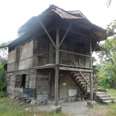
Makabulos House
30.8 km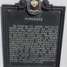
Memorare historical marker (Raid at Cabanatuan)
18.1 km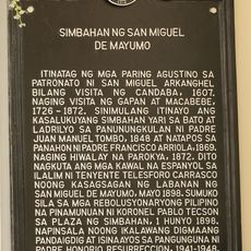
Church of San Miguel de Mayumo historical marker
23.8 km
Francisco Makabulos historical marker
30.8 km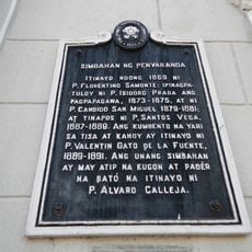
Church of Peñaranda historical marker
79 m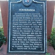
Penyaranda historical marker
1.9 km
Felipe Buencamino, Sr. historical marker
23.4 km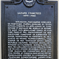
Lazaro Francisco historical marker
15.5 km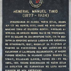
General Manuel Tinio historical marker
14.4 km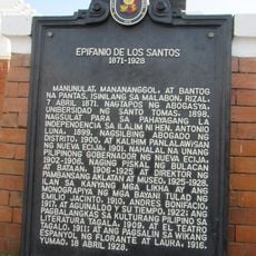
Epifanio de los Santos historical marker
11.3 km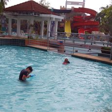
Dreamwater Resort
1.1 km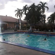
MGL Hotel & Resort
16.4 kmVisited this place? Tap the stars to rate it and share your experience / photos with the community! Try now! You can cancel it anytime.
Discover hidden gems everywhere you go!
From secret cafés to breathtaking viewpoints, skip the crowded tourist spots and find places that match your style. Our app makes it easy with voice search, smart filtering, route optimization, and insider tips from travelers worldwide. Download now for the complete mobile experience.

A unique approach to discovering new places❞
— Le Figaro
All the places worth exploring❞
— France Info
A tailor-made excursion in just a few clicks❞
— 20 Minutes