Alfonso, Municipality of Cavite Province, Philippines
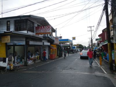
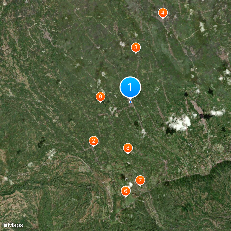
Alfonso spans across 66.58 square kilometers of land at an elevation of 356 meters in the southwestern region of Cavite Province.
Originally named Alas-as due to the abundance of pandan trees used in construction, the municipality received its current name in honor of King Alfonso XII of Spain.
The municipality encompasses 32 barangays, where local communities maintain traditional practices while adapting to modern administrative systems.
Located 74 kilometers from Manila, Alfonso experiences temperatures between 17°C and 30°C, with substantial rainfall occurring from June through October.
The municipality recorded a significant population increase from 5,780 residents in 1903 to 59,306 in 2020, demonstrating substantial demographic growth over a century.
Location: จังหวัดคาวีเต
Inception: 1870
Elevation above the sea: 356 m
Shares border with: Maragondon, Laurel, Mendez, Tagaytay
Website: http://alfonso.gov.ph
GPS coordinates: 14.13789,120.85518
Latest update: May 27, 2025 09:54
People's Park in the Sky
18 km
Mount Sungay
18 km
Silang Church
16 km
Puzzle Mansion
6.9 km
Mount Marami
19.5 km
St. Gregory the Great Parish Church
7.4 km
Sky Ranch
10.1 km
Kaytitinga Falls
4.4 km
Villa Colmenar Natural Spring Resort
3.8 km
Tagaytay Ridge Landing historical marker
11.8 km
Emiliano Riego de Dios historical marker
19.7 km
Thirteen Martyrs of Cavite historical marker
16 km
General Jose Ignacio Paua historical marker
17.6 km
41st Division Philippine Army (USAFFE) historical marker
10.2 km
General Nicolas Gonzales y Lantin historical marker
18 km
Severino de las Alas historical marker
6.9 km
Paraiso de June Quixote Ecofarm Resort
17.4 km
Banio kreek
14 km
Vito Belarmino historical marker
15.6 km
Amadeo Municipal Hall
8.1 km
The Capture of Bonifacio historical marker
8.6 km
Bearseum
8.1 km
Site of Imprisonment of Andres Bonifacio historical marker
6.9 km
Town of Amadeo historical marker
8.1 km
41st Division Philippine Army-USAFFE Shrine
10.2 km
Parish of Saint Mary Magdalene historical marker
8 km
Silyang Bato
19.5 km
Church of Silang historical marker
16 kmReviews
Visited this place? Tap the stars to rate it and share your experience / photos with the community! Try now! You can cancel it anytime.
Discover hidden gems everywhere you go!
From secret cafés to breathtaking viewpoints, skip the crowded tourist spots and find places that match your style. Our app makes it easy with voice search, smart filtering, route optimization, and insider tips from travelers worldwide. Download now for the complete mobile experience.
A unique approach to discovering new places❞
— Le Figaro
All the places worth exploring❞
— France Info
A tailor-made excursion in just a few clicks❞
— 20 Minutes