
Mina, municipality of the Philippines in the province of Iloilo
Location: Iloilo
Inception: July 1, 1870
Elevation above the sea: 42 m
Shares border with: Badiangan
Website: http://mina.gov.ph
GPS coordinates: 10.93333,122.58333
Latest update: March 7, 2025 20:10
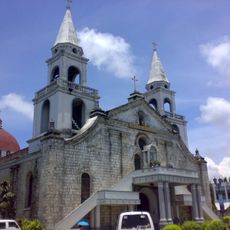
Jaro Cathedral
23.5 km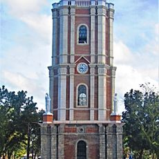
Jaro Belfry
23.5 km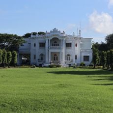
Lopez Heritage House
24 km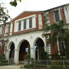
Dumangas Church
18.9 km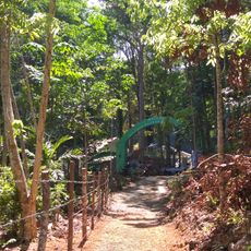
Bulabog Putian National Park
14.6 km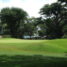
Iloilo Golf and Country Club
14.2 km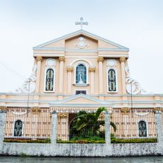
San Vicente Ferrer Church
16.4 km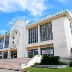
Rose Memorial Auditorium
22.9 km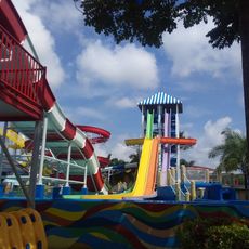
Waterworld Iloilo
22.2 km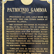
Patrocinio Gamboa historical marker
23.4 km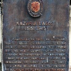
Nazaria Lagos historical marker
15.2 km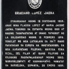
Graciano Lopez Jaena historical marker
23.2 km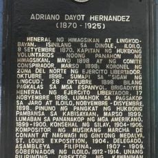
Adriano Dayot Hernandez historical marker
12 km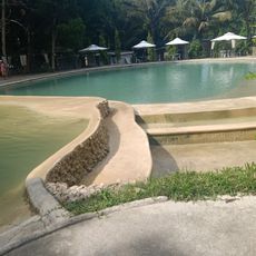
Cabas- an Cold Spring Inland Resort
15.8 km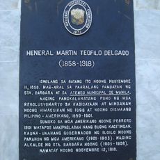
General Martin Teofilo Delgado historical marker
24.3 km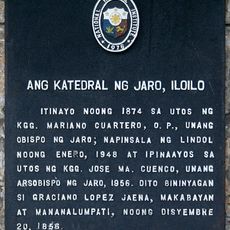
The Cathedral of Jaro, Iloilo historical marker
23.5 km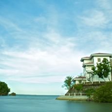
Roca Encantada
23.7 km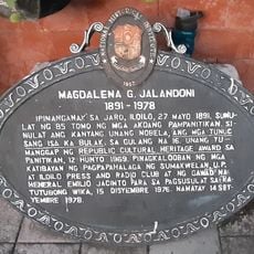
Magdalena G. Jalandoni historical marker
23.5 km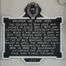
Colegio de San Jose historical marker
23.8 km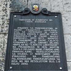
Church and Convent of Santa Barbara historical marker
13 km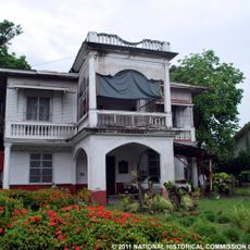
Hechanova Ancestral House
21 km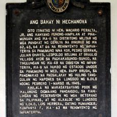
The House of Hechanova historical marker
21 km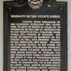
Seminary of Saint Vincent Ferrer historical marker
23.7 km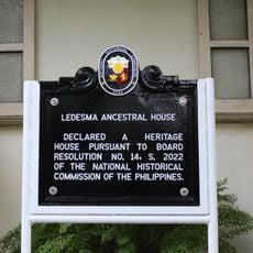
Ledesma Ancestral House historical marker
23.3 km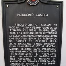
Patrocinio Gamboa historical marker
23.6 km
Central Philippine University historical marker
22.8 km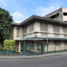
Ledesma Ancestral House
23.3 km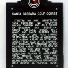
Santa Barbara Golf Course historical marker
14 kmReviews
Visited this place? Tap the stars to rate it and share your experience / photos with the community! Try now! You can cancel it anytime.
Discover hidden gems everywhere you go!
From secret cafés to breathtaking viewpoints, skip the crowded tourist spots and find places that match your style. Our app makes it easy with voice search, smart filtering, route optimization, and insider tips from travelers worldwide. Download now for the complete mobile experience.

A unique approach to discovering new places❞
— Le Figaro
All the places worth exploring❞
— France Info
A tailor-made excursion in just a few clicks❞
— 20 Minutes