
Vicente S. Manansala historical marker
Vicente S. Manansala historical marker, NHCP historical marker for Vicente Manansala
Location: Macabebe
Inception: August 22, 1985
Creator: National Historical Commission of the Philippines
Address: Poblacion
GPS coordinates: 14.90836,120.71511
Latest update: March 14, 2025 04:09

Barasoain Church
12.5 km
Betis Church
10.8 km
Candaba Viaduct
8.4 km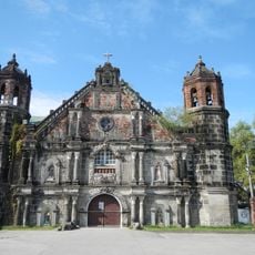
Minalin Church
7.5 km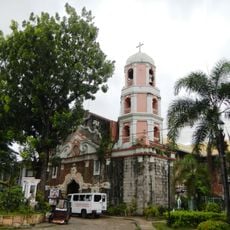
Calumpit Church
5.9 km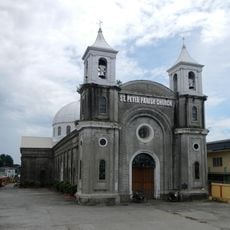
Apalit Church
8 km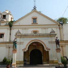
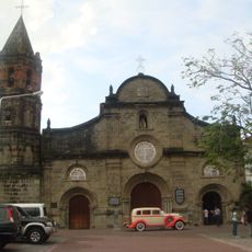
Macabebe Church
972 m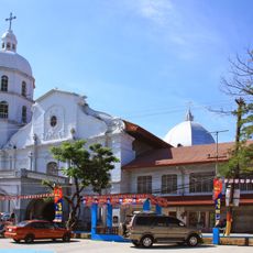
Guagua Church
10.7 km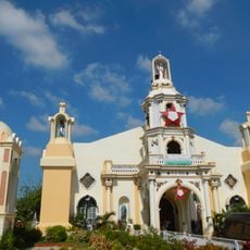
San Miguel Arcangel Church
1.9 km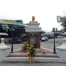
Juan Crisostomo Soto (Crissot) historical marker
12.1 km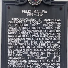
Felix Galura historical marker
12 km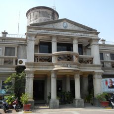
Macabebe Municipal Hall
11 m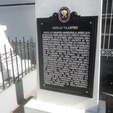
Aurelio Tolentino historical marker
10.8 km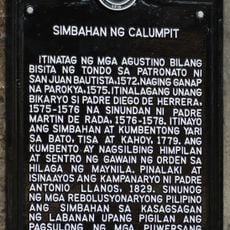
Church of Calumpit historical marker
5.8 km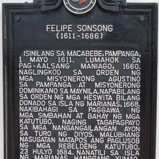
Felipe Sonsong historical marker
58 m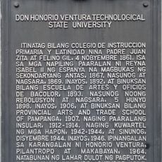
Don Honorio Ventura Technological State University historical marker
12 km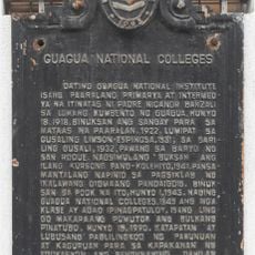
Guagua National Colleges historical marker
10.8 km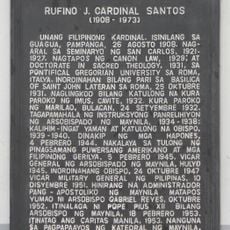
Rufino J. Cardinal Santos historical marker
10.8 km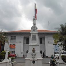
Hagonoy Municipal Hall
8.3 km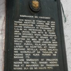
Church of Hagonoy historical marker
8.4 km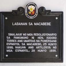
Battle of Macabebe historical marker
22 m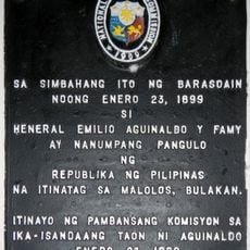
Oath-taking of Emilio Aguinaldo as president of the Republic of the Philippines historical marker
12.6 km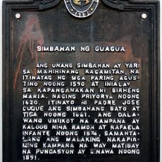
Church of Guagua historical marker
10.7 km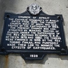
Church of Apalit historical marker
8 km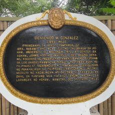
Bienvenido M. Gonzalez historical marker
7.6 km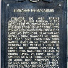
Church of Macabebe historical marker
87 m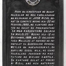
Site of the School of the Women of Malolos historical marker
12.5 km
The Young Leader of Macabebe historical marker
18 mReviews
Visited this place? Tap the stars to rate it and share your experience / photos with the community! Try now! You can cancel it anytime.
Discover hidden gems everywhere you go!
From secret cafés to breathtaking viewpoints, skip the crowded tourist spots and find places that match your style. Our app makes it easy with voice search, smart filtering, route optimization, and insider tips from travelers worldwide. Download now for the complete mobile experience.

A unique approach to discovering new places❞
— Le Figaro
All the places worth exploring❞
— France Info
A tailor-made excursion in just a few clicks❞
— 20 Minutes