Kurów, Hamlet in Gmina Kurów region, Poland
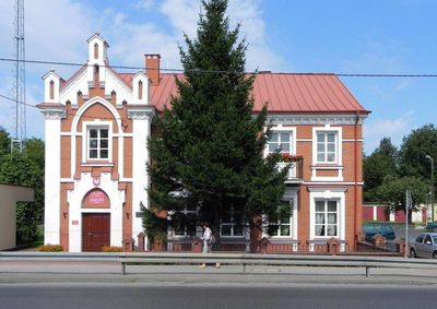
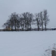
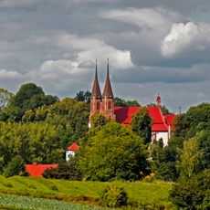
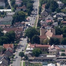
Kurów is a settlement in Gmina Kurów in eastern Poland, situated along the Kurówka River between Puławy and Lublin at an elevation of 157 meters. The locality is accessible through expressways S12 and S17, which connect it to larger towns in the region.
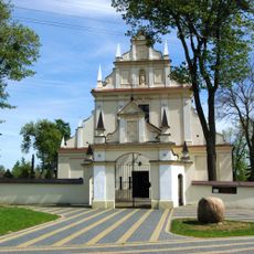
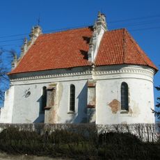
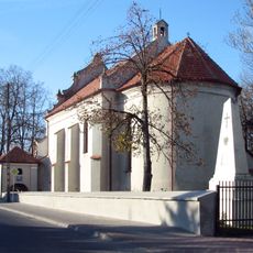
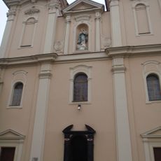
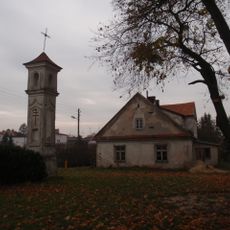
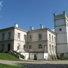
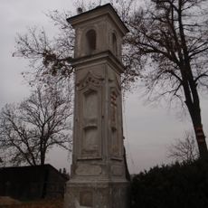
The settlement received Magdeburg Law rights in 1442, establishing it as a trading center with significant food markets and leather manufacturing. During the 16th century, it developed into a center of religious diversity, with residents following Calvinist and Arian beliefs.
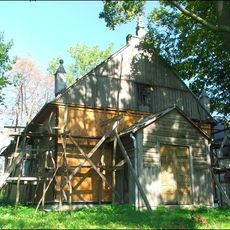
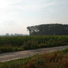
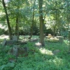
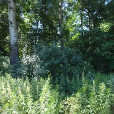
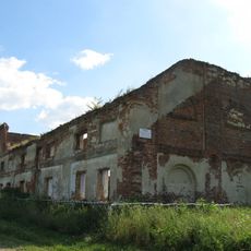
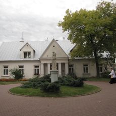
The settlement is rooted in traditional Polish farming life, where residents follow the rhythm of seasonal work and gather for local celebrations. This rural way of life continues to shape the character of the community.
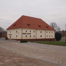
The settlement is easily reached via expressways S12 and S17, offering good connections to larger towns in the region. As a small locality, it has the character of a rural community with limited visitor facilities, so it is best to check for local services before planning a visit.
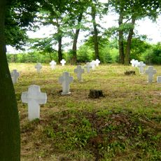
During the 16th century, the settlement became a rare center of religious tolerance in Central Europe, where followers of different Protestant movements could coexist. This chapter of diversity is little known today, though it reveals the place's importance in European Reformation history.
The community of curious travelers
AroundUs brings together thousands of curated places, local tips, and hidden gems, enriched daily by 60,000 contributors worldwide.