Enable Location

We need your location to show you interesting places around you

Discover nearby places

Find interesting locations and hidden gems around you

Precise directions

Get accurate directions and distances to places

Your location is never shared with other users. It's only used when you tap the location button.

Aleksandrów Kujawski

Log in to your account

Start exploring — it's free

Trusted by 62,336 travelers worldwide

Continue with Google
Continue with Apple
or

We will send you a code to connect

By continuing, you accept our Terms and Conditions and our Privacy Policy

Check your inbox

We've sent a pincode in your inbox. Please enter the code below.

Aleksandrów Kujawski

Aleksandrów Kujawski, Municipal center in Kuyavian-Pomeranian Voivodeship, Poland

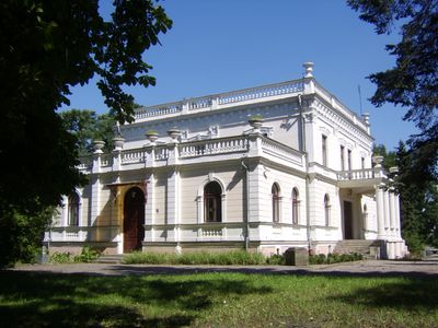
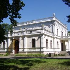
Aleksandrów Kujawski is a municipal center in Kuyavian-Pomeranian Voivodeship in north-central Poland with several distinct neighborhoods that together form a compact settlement. The city comprises different residential and local areas connected by local roads and pathways.

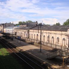
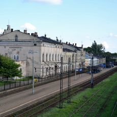
The settlement was established in 1862 near Trojanów railway station and was renamed in 1919 following Poland's independence after World War I. This change marked a new chapter for the growing community in the postwar period.

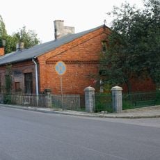
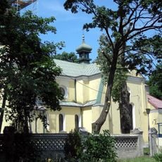
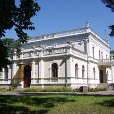
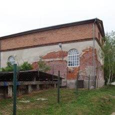
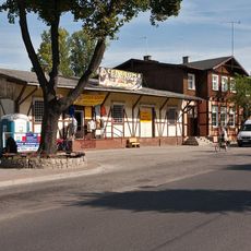
The neighborhoods such as Centrum and Piaski reflect how residents live together in this Polish community, with traditional buildings that shape the town's character. Walking through these areas, you notice how locals have organized their daily routines around local gathering places and family homes.

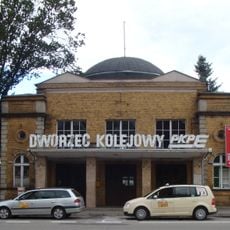
The town connects to the wider region through Voivodeship road 266 and two railway lines, making it accessible for visitors and local travel. You should plan your arrival and departure considering these main transportation routes.

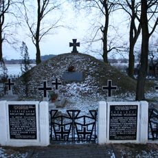
Between 1921 and 1923, the location housed an internment camp for soldiers of the Ukrainian People's Republic during postwar regional conflicts. This episode reflects the complex history of the area in the years following World War I.

The community of curious travelers

AroundUs brings together thousands of curated places, local tips, and hidden gems, enriched daily by 60,000 contributors worldwide.

Start exploring
Inception
1834
Shares border with
Ciechocinek, Gmina Aleksandrów Kujawski, Straszewo, Kuyavian-Pomeranian Voivodeship
GPS coordinates
52.87639,18.69333
Latest update
December 20, 2025 14:59
« Aleksandrów Kujawski - Municipal center in Kuyavian-Pomeranian Voivodeship, Poland » is provided by Around Us (aroundus.com). Images and texts are derived from Wikimedia project under a Creative Commons license. You are allowed to copy, distribute, and modify copies of this page, under the conditions set by the license, as long as this note is clearly visible.

Discover hidden gems everywhere you go!

From secret cafés to breathtaking viewpoints, skip the crowded tourist spots and find places that match your style. Our app makes it easy with voice search, smart filtering, route optimization, and insider tips from travelers worldwide. Download now for the complete mobile experience.

Around Us App Screenshot

A unique approach to discovering new places

Le Figaro

All the places worth exploring

France Info

A tailor-made excursion in just a few clicks

20 Minutes

Around Us
Travel Guide & Maps
Download

Send to your phone

QR Code
1

Open the camera app on your mobile.

2

Point at the QR code with your camera. A notification will appear.

3

Tap the notification to open the link.