Żórawina, Rural settlement in Lower Silesian Voivodeship, Poland
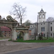
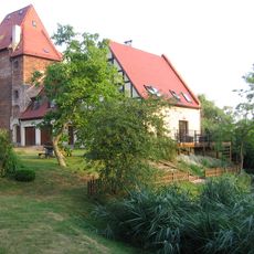
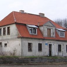
Żórawina is a rural village in Lower Silesian Voivodeship about 16 kilometers south of Wrocław, where agricultural areas and residential zones are linked by local roads. The settlement occupies fertile land with a traditional country layout.
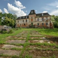
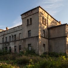
Żórawina developed as a rural settlement shaped by agriculture and religious life over many centuries. The village witnessed tragedy during World War II when 27 prisoners of war from Poland, France, and Belgium died here under German occupation.
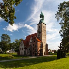
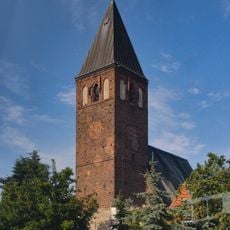
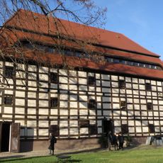
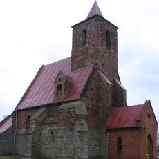
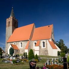
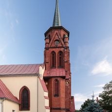
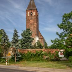
The Holy Trinity Church shapes how locals and visitors experience the village center, serving as a gathering place that reflects the community's long religious traditions. The fortified structure shows how faith and protection were once united in local architecture.
The village has direct train connections to Wrocław and is close to the A4 motorway, making it easy to reach by public or private transport. Visitors should know that as a rural area, most facilities and services are located in the nearby city rather than within the village itself.
One of the most striking features of Żórawina is a tall radio transmitter tower that rises above the flat landscape and can be seen from considerable distances. This broadcasting structure serves as a visible landmark that helps orient visitors and locals across the surrounding agricultural lands.
The community of curious travelers
AroundUs brings together thousands of curated places, local tips, and hidden gems, enriched daily by 60,000 contributors worldwide.