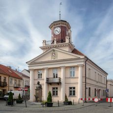
Konin County, Administrative district in Greater Poland Voivodeship, Poland
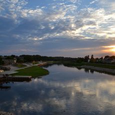
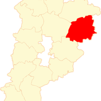
Konin County is an administrative district in Greater Poland with an area of approximately 1,578 square kilometers spread across five towns. The territory consists of several municipalities with varying structures and is located north of Konin city, which functions as a separate administrative unit.
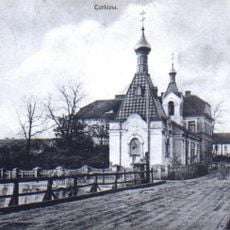
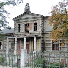
The area emerged in the 14th century as part of the Ląd castellany under Casimir the Great's rule. The administrative structure later expanded into the current county system and retained its importance as a regional administrative center.
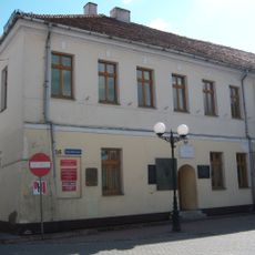
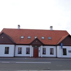
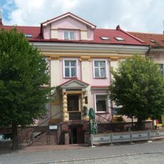
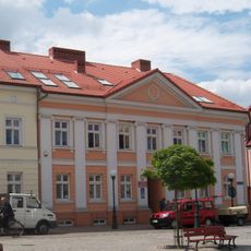
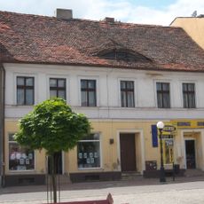
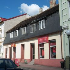
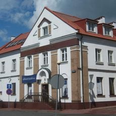
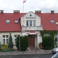
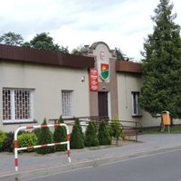
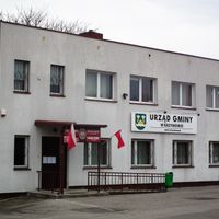
The area includes five independent towns, each maintaining its own local governance and community traditions. This diversity shapes how residents connect with decisions made at their local level.
The district is bordered by eight neighboring counties, which makes regional travel and connections straightforward. Visitors should note that Konin city itself has separate administrative boundaries and lies outside the county's jurisdiction.
Konin city is completely independent from the county administratively and forms its own separate unit, even though it sits geographically surrounded by the district. This unusual division can make understanding local governance confusing at first glance.
The community of curious travelers
AroundUs brings together thousands of curated places, local tips, and hidden gems, enriched daily by 60,000 contributors worldwide.