Krotoszyn County, Administrative district in Greater Poland Voivodeship, Poland.
Krotoszyn County spans west-central Poland and encompasses several towns alongside numerous rural settlements of varying sizes. The district contains administrative centers mixed with village communities that together form the region's geographic makeup.
This county was established in 1999 during Poland's major administrative restructuring and represents a reshaping of regional governance. The reorganization created new administrative structures that continue to shape how local affairs and decisions are organized today.
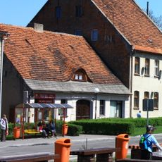
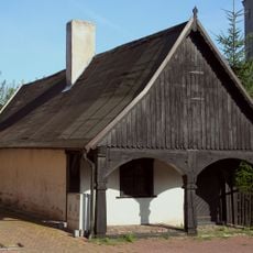
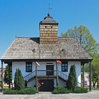
The communities across this county preserve local traditions through regular festivals and customs rooted in village life and family gatherings. Visitors notice how these celebrations connect people to their rural heritage and create a rhythm of shared events throughout the year.
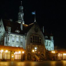
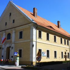
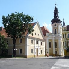
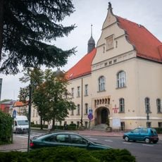
The county seat of Krotoszyn sits on major transportation routes and serves as a gateway for exploring the area. Those visiting the various towns and villages here will find the main city a convenient base with good connections to larger regional centers.
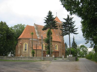
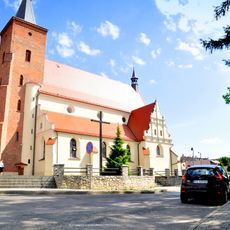
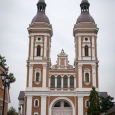
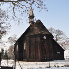
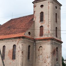
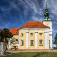
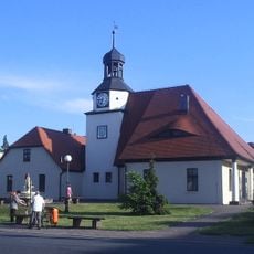
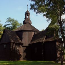
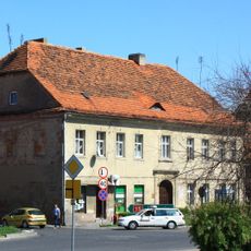
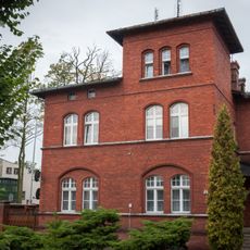
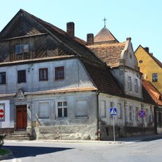
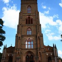
The county brings together several distinct towns, each preserving its own local character and distinct identity within the broader region. This diversity means visitors will find noticeably different atmospheres and traditions when moving from one town to another.
Location: Greater Poland Voivodeship
Capital city: Krotoszyn
Shares border with: Rawicz County, Gostyń County, Jarocin County, Pleszew County, Ostrów Wielkopolski County, Milicz County
Website: http://starostwo.krotoszyn.pl
GPS coordinates: 51.68333,17.43333
Latest update: December 10, 2025 15:47
Saint John the Baptist church in Krotoszyn
1.3 km
Krotoszyn Town Hall
1.4 km
Saint Andrew Bobola church in Krotoszyn
1.2 km
Saint Mary Magdalene church in Krotoszyn
3 km
Saints Peter and Paul the Apostles church in Krotoszyn
1.3 km
Kościół ewangelicki w Zdunach
5.7 km
Trafary
6.3 km
Muzeum Regionalne im. Hieronima Ławniczaka w Krotoszynie
1.4 km
Szaniec powstańczy pod Borownicą
4.8 km
Saint John the Baptist church in Zduny
5.7 km
Kościół Św. Trójcy, Kościelna 11 w Lutogniewie
5.5 km
Zduny town hall
5.6 km
Rezerwat przyrody Miejski Bór
2.2 km
Jewish cemetery in Krotoszyn
2.1 km
Nature reserve Buczyna Helenopol
6.6 km
Adalbert of Prague church in Kobierno
5.2 km
Szaniec Pamięci Żołnierzy 56. Pułku Piechoty Wielkopolskiej
1 km
Former evangelic church in Zduny
5.7 km
10 Rynek Street in Zduny
5.5 km
Saints Fabian, Roch and Sebastian church in Krotoszyn
1.7 km
Trinitarian monastery in Krotoszyn
1.4 km
Nature reserve Dąbrowa Smoszew
5.9 km
8 Rynek Street in Zduny
5.5 km
9 Rynek Street in Zduny
5.5 km
Gimnazjum, ob. LO
830 m
2 Jana Kazimierza Street in Zduny
5.7 km
36 Koźmińska Street in Krotoszyn
1.7 km
Starostwo, ob. UMiG
952 mVisited this place? Tap the stars to rate it and share your experience / photos with the community! Try now! You can cancel it anytime.
Discover hidden gems everywhere you go!
From secret cafés to breathtaking viewpoints, skip the crowded tourist spots and find places that match your style. Our app makes it easy with voice search, smart filtering, route optimization, and insider tips from travelers worldwide. Download now for the complete mobile experience.
A unique approach to discovering new places❞
— Le Figaro
All the places worth exploring❞
— France Info
A tailor-made excursion in just a few clicks❞
— 20 Minutes