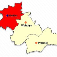
Wolsztyn County, Administrative district in Greater Poland Voivodeship, Poland
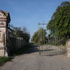
Wolsztyn County is an administrative district in Greater Poland covering approximately 680 square kilometers of mixed terrain. The area includes farmland, lakes, and is divided into three smaller administrative units called gminas.
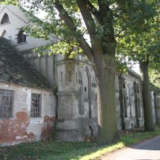
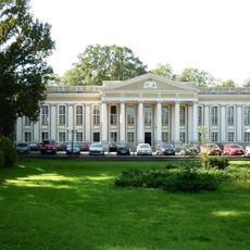
The area played a role in the formation of the early Polish state and took its current form during the 1999 administrative reforms. Those reforms created the modern administrative boundaries that exist today.
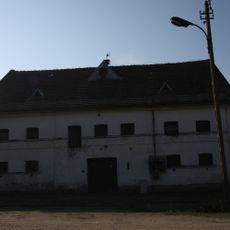
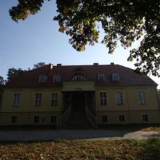
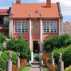
The region keeps traditional crafts and farming methods alive through the daily work of its residents. Visitors can experience these traditions at local markets and shops, where people sell regional specialties and handmade goods.
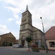
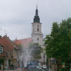
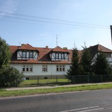
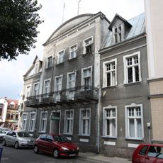
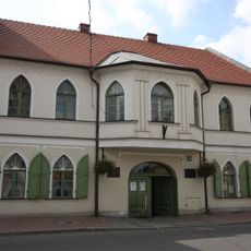
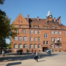
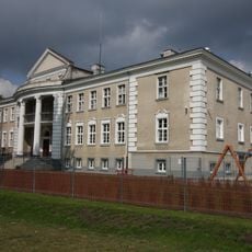
The main town sits about 63 kilometers southwest of Poznań and is accessible by car or bus. Visitors will find public facilities and services concentrated in Wolsztyn town.
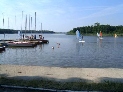
The northern section contains several lakes formed by glacial activity in ancient times. These water bodies create a network of protected natural areas that support local wildlife and plants.
The community of curious travelers
AroundUs brings together thousands of curated places, local tips, and hidden gems, enriched daily by 60,000 contributors worldwide.