
Bobrowo, West Pomeranian Voivodeship, village of Poland
Location: Gmina Złocieniec
Elevation above the sea: 126 m
GPS coordinates: 53.52365,16.06711
Latest update: March 4, 2025 21:45
Pomeranian Lakeland
10.6 km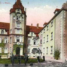
Castle in Złocieniec
4.2 km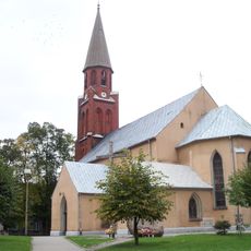
Church of the Assumption in Złocieniec
4.1 km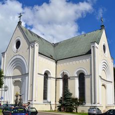
Exaltation of the Cross Church in Czaplinek
11.7 km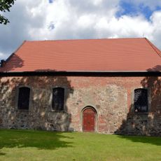
Holy Trinity Church in Czaplinek
11.7 km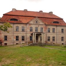
Palace in Siemczyno
5.7 km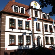
Złocieniec town hall
4 km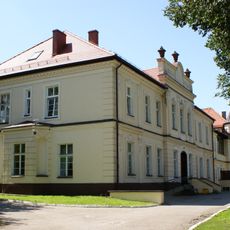
Palace in Darskowo
7.7 km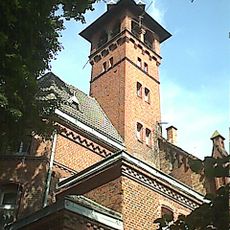
Schloss Dietersdorf
156 m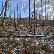
Rezerwat przyrody Torfowisko nad Jeziorem Morzysław Mały
6.8 km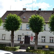
Czaplinek town hall
11.7 km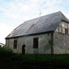
Our Lady Help of Christians church in Piaseczno, Drawsko County
7.7 km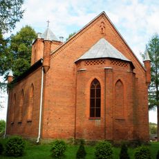
Sacred Heart church in Rzepowo
7.8 km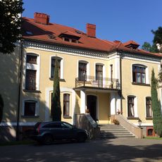
Pałac w Cieszynie
7.6 km
Saints Peter and Paul church in Darskowo
7.7 km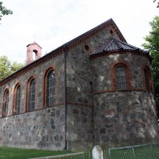
Saint Joseph church in Kosobudy
8.1 km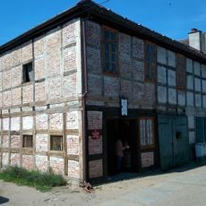
2 Studzienna Street in Czaplinek
11.7 km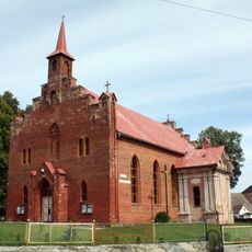
Our Lady of the Rosary church in Siemczyno
5.6 km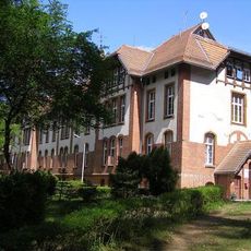
Hospital in Złocieniec
5.7 km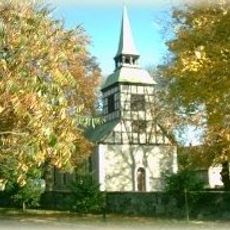
Saint Casimir church in Lubieszewo
11 km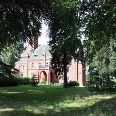
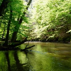
Park in Bobrowo
190 m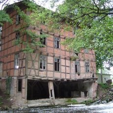
Watermill in Głęboczek
5.8 km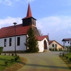
Christ the King church in Suliszewo
11.7 km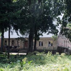
Manor in Linowno
11.7 km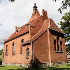
Saint Ignatius of Loyola church in Linowno
11.6 km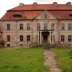
Pałac w Siemczynie
5.7 km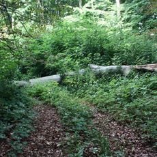
Park in Kosobudy
8.1 km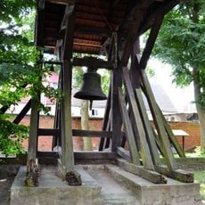
Dzwonnica, Górna 6 w Czaplinku
11.7 kmReviews
Visited this place? Tap the stars to rate it and share your experience / photos with the community! Try now! You can cancel it anytime.
Discover hidden gems everywhere you go!
From secret cafés to breathtaking viewpoints, skip the crowded tourist spots and find places that match your style. Our app makes it easy with voice search, smart filtering, route optimization, and insider tips from travelers worldwide. Download now for the complete mobile experience.

A unique approach to discovering new places❞
— Le Figaro
All the places worth exploring❞
— France Info
A tailor-made excursion in just a few clicks❞
— 20 Minutes