Gmina Złocieniec

Log in to your account

AroundUs is a community-driven map of interesting places, built by curious explorers like you. It grows with every review, story, and photo you share.
Connect to save your favorite spots, contribute locations, and create personalized routes.
Continue with Google
Continue with Apple
Continue with X
Continue with Facebook
Continue with email
By continuing, you accept our Terms and Conditions and our Privacy Policy
Create an account
Add to collection
Map
Suggest a change
Share

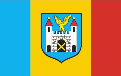
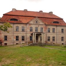
Gmina Złocieniec, Administrative district in Drawsko County, Poland

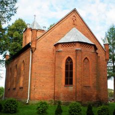
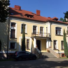
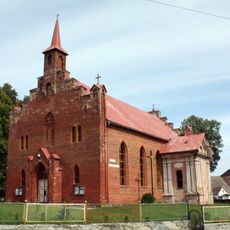
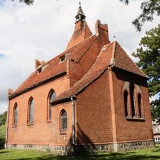
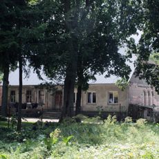
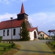
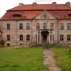
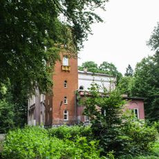
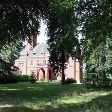
Gmina Złocieniec is an administrative unit in West Pomeranian Voivodeship that includes the town of Złocieniec and numerous surrounding villages. The area spans a mixed landscape with varied settlement patterns, from compact town centers to scattered farmsteads.

This administrative unit was created in its current form in 1999 during major local government reforms across Poland that reorganized the governance structure. These changes brought previously separate rural and urban areas under a single administrative authority.

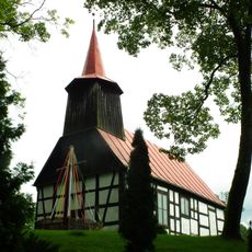
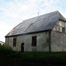
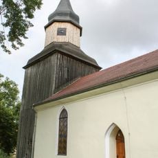
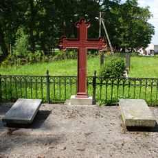
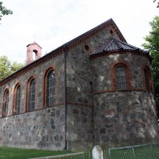
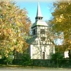
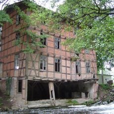
The area shows how rural and urban lifestyles exist side by side, with traditional village patterns still visible alongside more modern town features. Each village maintains its own local character and customs that shape the broader landscape of the region.

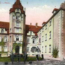
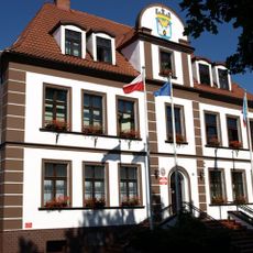
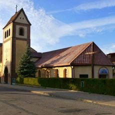
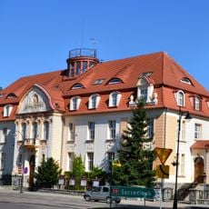
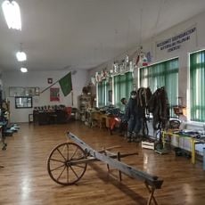
The municipality is administered from the town of Złocieniec, which is easily accessible by car or public transport and serves as a practical base for exploring the area. The town center offers shops, services, and accommodations if you plan to spend time in the region.

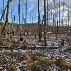
The area includes sections of Drawsko Landscape Park, a protected natural space featuring forest stands and water landscapes not immediately visible when passing through settlements. This park offers visitors access to natural areas that are less obvious as you move through the administrative district.

Location: Drawsko County

Capital city: Złocieniec

Shares border with: Gmina Czaplinek, Gmina Drawsko Pomorskie, Gmina Kalisz Pomorski, Gmina Wierzchowo, Gmina Połczyn-Zdrój

Website: http://zlocieniec.pl

GPS coordinates: 53.52694,16.01222

Latest update: December 11, 2025 11:01

Photos
Reviews

Visited this place? Tap the stars to rate it and share your experience / photos with the community! Try now! You can cancel it anytime.

« Gmina Złocieniec - Administrative district in Drawsko County, Poland » is provided by Around Us (aroundus.com). Images and texts are derived from Wikimedia project under a Creative Commons license. You are allowed to copy, distribute, and modify copies of this page, under the conditions set by the license, as long as this note is clearly visible.

Discover hidden gems everywhere you go!

From secret cafés to breathtaking viewpoints, skip the crowded tourist spots and find places that match your style. Our app makes it easy with voice search, smart filtering, route optimization, and insider tips from travelers worldwide. Download now for the complete mobile experience.

Around Us App Screenshot

A unique approach to discovering new places

Le Figaro

All the places worth exploring

France Info

A tailor-made excursion in just a few clicks

20 Minutes