Gmina Kołobrzeg, Municipality in West Pomeranian Voivodeship, Poland.
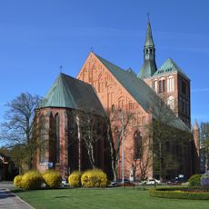
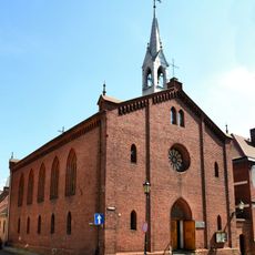
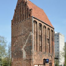
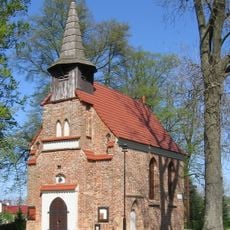
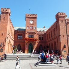
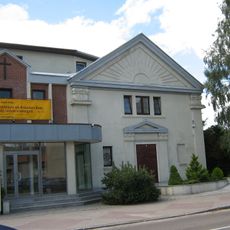
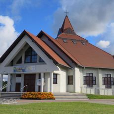
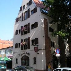
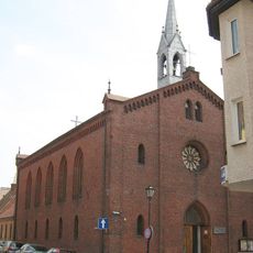
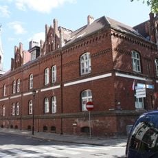
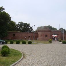
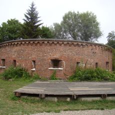
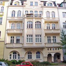
Gmina Kołobrzeg is a rural municipality in West Pomeranian Voivodeship along the Baltic Sea coast, combining urban neighborhoods with countryside villages and farmland. The territory includes residential areas, agricultural lands, and natural zones that form the everyday landscape for local residents.
The municipality received its current administrative form during Poland's territorial reforms in 1999, which created a three-level system of regions, counties, and municipalities. The area has served as part of the southern Baltic coastal region for centuries.
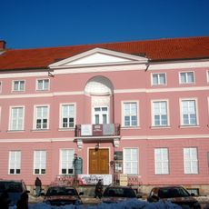
The local government system in Kołobrzeg Municipality reflects Poland's commitment to democratic representation through directly elected mayors and council members who manage community affairs.
Visitors can contact local administration offices to learn about public services, infrastructure, and regional programs available in the area. The territory is accessible by road with local transportation connecting the various neighborhoods and villages.
This municipality maintains strong connections with neighboring administrative regions, creating an integrated network for coordinating Baltic coastal development and preservation initiatives.
The community of curious travelers
AroundUs brings together thousands of curated places, local tips, and hidden gems, enriched daily by 60,000 contributors worldwide.